Watauga County Resources
- View All:
- Biographies
- Monuments
- locations
ANCHOR (A North Carolina History Online Resource) is now its own website!
Copyright Notice: This article is from the Encyclopedia of North Carolina edited by William S. Powell. Copyright © 2006 by the University of North Carolina Press. Used by permission of the publisher. For personal use and not for further distribution. Please submit permission requests for other use directly to the publisher.
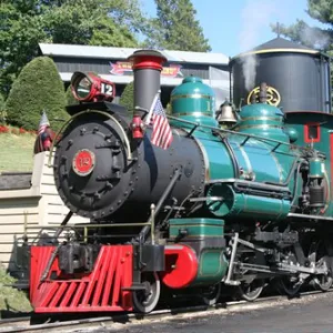
See also: Appalachian State University; Tweetsie Railroad.
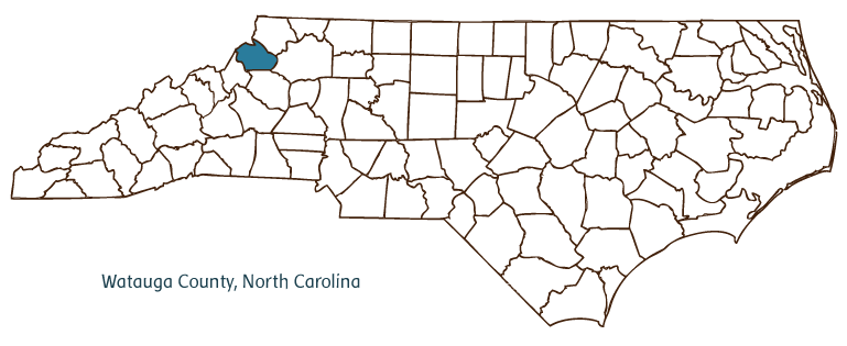
Watauga County, located in the Mountain region of North Carolina, was formed in 1849 from Ashe, Wilkes, Caldwell, and Yancey Counties and named after the Watauga River ("Watauga" is an Indian word meaning "beautiful river"). It is situated along the Tennessee-North Carolina border. Early inhabitants of the area included the Cherokee Indians, followed by Scotch-Irish, German, Dutch, Swedish, and French settlers. Boone, the county seat, was incorporated in 1871 and named for Daniel Boone, who camped in the area during hunting season. Appalachian State University was established in 1899 in Boone; it is now one of the 16 member schools of the consolidated University of North Carolina. Other Watauga County communities include Seven Devils, Beech Mountain, Valle Crucis, Sugar Grove, Deep Gap, and Sherwood. Notable physical features of the county include the Watauga River, the South Fork of the New River, State Line Ridge, Dugger Mountain, Hanging Rock Ridge, and Egg Knob. Blowing Rock, a massive cliff adjacent to the John's River Gorge, attracts thousands of visitors annually.
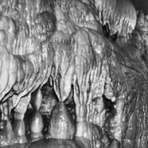
Watauga County's location in the Blue Ridge Mountains has led to tourism's becoming its principal industry; visitors can enjoy skiing, horseback riding, golf, whitewater rafting, hiking, caving, snowboarding, mountain biking, and rock climbing at numerous locations throughout the county. The county's cultural attractions, many celebrating its mountain heritage, include the outdoor drama Horn in the West, telling the story of Daniel Boone and the Revolutionary War in western North Carolina; the Appalachian Cultural Museum; the Appalachian Heritage Museum; the Grandfather Mountain Nature Museum; the Hickory Ridge Homestead Museum; and the Blowing Rock Stage Company. Tweetsie Railroad, the oldest theme park in North Carolina, features a historic narrow-gauge steam locomotive and numerous westernthemed rides. The county hosts annual events and festivals such as the Firefly Festival, the Scottish Highland Games, Valle Country Fair, International Festival, Wilderness Bike Ride, and Gospel Singing Jubilee.
Watauga County produces agricultural goods such as tobacco, horticultural crops, beef cattle, and poultry. Manufactured products include saw blades and other tools, electronic components, woven goods, wood products, crushed stone, furniture, and textiles. Copper and calcite are mined in the county. In 2004 Watauga County had an estimated population of 42,800.
For an annotated history of the county's formation, with the laws affecting the county, boundary lines and changes, and other origin information, visit these references in The Formation of the North Carolina Counties (Corbitt, 2000), available online at North Carolina Digital Collections (note, there may be additional items of interest for the county not listed here):
County formation history: https://digital.ncdcr.gov/Documents/Detail/the-formation-of-the-north-ca...
Index entry for the county: https://digital.ncdcr.gov/Documents/Detail/the-formation-of-the-north-ca...
Additional resources:
Corbitt, David Leroy. 2000. The formation of the North Carolina counties, 1663-1943. https://digital.ncdcr.gov/Documents/Detail/the-formation-of-the-north-carolina-counties-1663-1943/3692099?item=4553233 (accessed June 20, 2017).
Watauga County Government: http://www.wataugacounty.org/
Boone Area Chamber of Commerce: https://www.boonechamber.com/
DigitalNC, Watauga County: https://www.digitalnc.org/counties/watauga-county/
North Carolina Digital Collections (explore by place, time period, format): https://digital.ncdcr.gov
Image credits:
Rudersdorf, Amy. 2010. "NC County Maps." Government & Heritage Library, State Library of North Carolina.
Mazzocchi, Jay. "Watauga County." NCpedia. State Library of NC. 2006. https://www.ncpedia.org/geography/watauga.

WATAUGA COUNTY GOVERNMENT:
www.wataugacounty.org
COUNTY SEAT: Boone
FORMED: 1849
FORMED FROM: Ashe, Wilkes, Caldwell, Yancey
LAND AREA: 312.56 square miles
2020 POPULATION ESTIMATE: 54,086
White: 94.8%
Black/African American: 1.9%
American Indian: 0.4%
Asian: 1.2%
Pacific Islander: <0.1%
Two or more races: 1.7%
Hispanic/Latino: 4.0% (of any race)
From State & County QuickFacts, US Census Bureau, 2020.
CONGRESSIONAL DISTRICT: 5TH
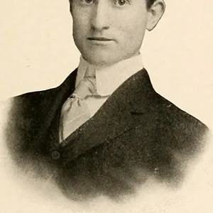
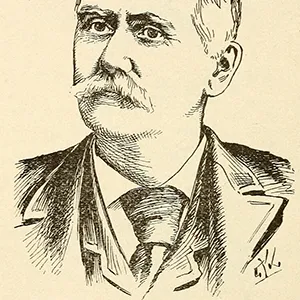
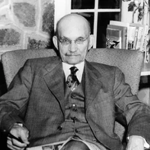
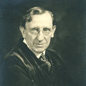
BIOGRAPHIES FOR![]()
Watauga County
 WILDLIFE PROFILES FOR
Mountain region
GEOGRAPHIC INFORMATION
REGION: Mountain
RIVER BASIN: Watauga, New, Map
NEIGHBORING COUNTIES: Ashe, Avery, Caldwell, Wilkes