Bladen County Resources
- View All:
- Biographies
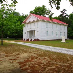
- Monuments
- locations
ANCHOR (A North Carolina History Online Resource) is now its own website!
Copyright Notice: This article is from the Encyclopedia of North Carolina edited by William S. Powell. Copyright © 2006 by the University of North Carolina Press. Used by permission of the publisher. For personal use and not for further distribution. Please submit permission requests for other use directly to the publisher.
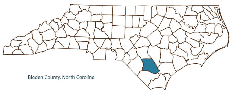
Bladen County lies in the Coastal Plain region of southeastern North Carolina. It was formed in 1734 from New Hanover County and named for English commissioner of trade and plantations Martin Bladen. Its earliest inhabitants were the Waccamaw Indians. Colonial newcomers to the region included Highland Scots and English settlers. Bladen County has been named the "Mother of Counties" because all or part of 55 of North Carolina's modern counties were formed from its original land. It remains one of the state's largest counties. The county seat, Elizabethtown, was established in 1773 and incorporated in 1895. The town was named for either the "sweetheart" of Isaac Jones, owner of the land the town was built on, or for Queen Elizabeth I of England. "Tory Hole," near Elizabethtown, was the site of a key Revolutionary War battle in August 1781. Other communities located in Bladen County are Clarkton, White Lake, East Arcadia, Bladenboro, Dublin, and Tar Heel.
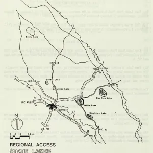
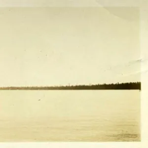
The county's physical features include the Cape Fear, South, and Black Rivers and the Bladen Lakes State Forest and Game Land. In former times, the county contained as many as 1,000 lakes; today, it has far fewer, but these include White and Jones Lakes, examples of the famous (and scientifically mysterious) Carolina Bays.
Bladen County farms produce swine, tobacco, blueberries, peanuts, and cotton. Industrial enterprises include peanut processing and the manufacture of textiles and clothing, plastics, and resin products. Bladen County hosts a number of annual festivals and events, such as the East Coast Delta Kite and Glider Competition. In 2004 the population of Bladen County was estimated to be 33,000.
For an annotated history of the county's formation, with the laws affecting the county, boundary lines and changes, and other origin information, visit these references in The Formation of the North Carolina Counties (Corbitt, 2000), available online at North Carolina Digital Collections (note, there may be additional items of interest for the county not listed here):
County formation history: https://digital.ncdcr.gov/Documents/Detail/the-formation-of-the-north-ca...
Index entry for the county: https://digital.ncdcr.gov/Documents/Detail/the-formation-of-the-north-ca...
Additional resources:
Corbitt, David Leroy. 2000. The formation of the North Carolina counties, 1663-1943. https://digital.ncdcr.gov/Documents/Detail/the-formation-of-the-north-carolina-counties-1663-1943/3692099?item=4553233 (accessed June 20, 2017).
Bladen County Government: http://www.bladeninfo.org/government/index.html
DigitalNC, Bladen County: https://www.digitalnc.org/counties/bladen-county/
North Carolina Digital Collections (explore by place, time period, format): https://digital.ncdcr.gov
Image credits:
Rudersdorf, Amy. 2010. "NC County Maps." Government & Heritage Library, Library of North Carolina.
Rider, Bernadette. "Bladen County." NCpedia. Library of NC. 2006.
BLADEN COUNTY GOVERNMENT: http://www.bladennc.govoffice3.com/
COUNTY SEAT: Elizabethtown
FORMED: 1734
FORMED FROM: New Hanover
LAND AREA: 874.33 square miles
2020 POPULATION ESTIMATE: 29,606
White: 60.8%
Black/African American: 34.0%
American Indian: 3.1%
Asian: 0.3%
Pacific Islander: <0.1%
Two or more races: 1.7%
Hispanic/Latino: 7.8% (of any race)
From State & County QuickFacts, US Census Bureau,2020.
CONGRESSIONAL DISTRICT: 7TH, 9TH
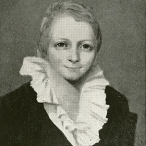
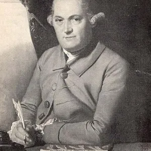
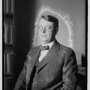
BIOGRAPHIES FOR![]()
Bladen County
 WILDLIFE PROFILES FOR
Coastal Plain
GEOGRAPHIC INFORMATION
REGION: Coastal Plain
RIVER BASINS: Cape Fear, Lumber, Map
NEIGHBORING COUNTIES: Columbus, Cumberland, Pender, Robeson, Sampson