Davie County Resources
- View All:
- Biographies
- Monuments
- locations
Copyright Notice: This article is from the Encyclopedia of North Carolina edited by William S. Powell. Copyright © 2006 by the University of North Carolina Press. Used by permission of the publisher. For personal use and not for further distribution. Please submit permission requests for other use directly to the publisher.

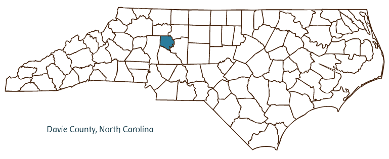
Davie County, located in the western part of North Carolina's Piedmont region, was formed in 1836 from Rowan County. It was named for William R. Davie, governor from 1798 to 1799 and founder of the University of North Carolina. Saponi Indians were the original inhabitants of the region. The county seat, Mocksville, was known as "Mocks Old Field" before it was incorporated in 1839. Other communities in the county include Bermuda Run, Cooleemee, and Farmington.
British soldiers under Lord Charles Cornwallis came through Davie County during the American Revolution, and Stoneman's Raiders came to the county near the end of the Civil War. The county boasts several historic sites, including three historic districts. Cooleemee Plantation and the Hinton Rowan Helper House are designated as National Historic Landmarks. (Helper penned The Impending Crisis of the South, a scathing denunciation of slavery published in 1857.) The Cooleemee Textile Heritage Center interprets the mill heritage of the region. Davie County is home to one of North Carolina's oldest annual festivals, the Mocksville Masonic Picnic, held each August since 1878. Agriculture is the dominant industry in Davie County, which in many years ranks as the top dairy-producing county in the state. The county also produces tobacco, corn, wheat, chickens, and beef cattle. The population of Davie County was estimated to be 38,000 in 2004.
For an annotated history of the county's formation, with the laws affecting the county, boundary lines and changes, and other origin information, visit these references in The Formation of the North Carolina Counties (Corbitt, 2000), available online at North Carolina Digital Collections (note, there may be additional items of interest for the county not listed here):
County formation history: https://digital.ncdcr.gov/Documents/Detail/the-formation-of-the-north-ca...
Index entry for the county: https://digital.ncdcr.gov/Documents/Detail/the-formation-of-the-north-ca...
References:
James W. Wall, History of Davie County in the Forks of the Yadkin (1985).
Additional resources:
Corbitt, David Leroy. 2000. The formation of the North Carolina counties, 1663-1943. https://digital.ncdcr.gov/Documents/Detail/the-formation-of-the-north-carolina-counties-1663-1943/3692099?item=4553233 (accessed June 20, 2017).
Davie County Government: http://www.daviecountync.gov/
Davie County Chamber of Commerce: https://www.daviechamber.com/
DigitalNC, Davie County: https://www.digitalnc.org/counties/davie-county/
North Carolina Digital Collections (explore by place, time period, format): https://digital.ncdcr.gov
Image credits:
Rudersdorf, Amy. 2010. "NC County Maps." Government & Heritage Library, State Library of North Carolina.
Criner, Allyson C. "Davie County." NCpedia. State Library of NC. 2006. https://www.ncpedia.org/geography/davie.