Greene County Resources
- View All:
- Biographies
- Monuments
- locations
ANCHOR (A North Carolina History Online Resource) is now its own website!
We have rescheduled our maintenance on NCpedia to Friday, May 22, beginning at 3 pm. You may experience access issues over the weekend (May 23 and 24). We apologize for the inconvenience.
Copyright Notice: This article is from the Encyclopedia of North Carolina edited by William S. Powell. Copyright © 2006 by the University of North Carolina Press. Used by permission of the publisher. For personal use and not for further distribution. Please submit permission requests for other use directly to the publisher.

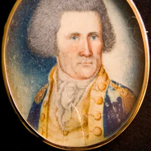
Greene County, located in the Coastal Plain region of east central North Carolina, was formed from Dobbs County (which no longer exists) in 1791. Tuscarora Indians originally inhabited the region, but after a period of conflict with English settlers culminating in the Tuscarora and Yamassee Wars (1711-15), they were forced out. Greene County is the site of Fort Neoheroka, scene of the decisive battle of the Tuscarora War in March 1713. The site has been investigated by archaeologists in recent years. The county was originally named Glasgow County, for North Carolina secretary of state James Glasgow, but it was renamed for Revolutionary War commander Nathanael Greene after Glasgow was indicted for fraud in 1799. Communities in Greene County include Hookerton, Walstonburg, and the county seat, Snow Hill, incorporated in 1828.
Greene County agricultural products include tobacco, corn, soybeans, swine, and chickens. The county has several lumber mills. The population of Greene County was estimated to be 20,000 in 2004.
For an annotated history of the county's formation, with the laws affecting the county, boundary lines and changes, and other origin information, visit these references in The Formation of the North Carolina Counties (Corbitt, 2000), available online at North Carolina Digital Collections (note, there may be additional items of interest for the county not listed here):
County formation history: https://digital.ncdcr.gov/Documents/Detail/the-formation-of-the-north-ca...
Index entry for the county: https://digital.ncdcr.gov/Documents/Detail/the-formation-of-the-north-ca...
References:
James M. Creech, History of Greene County, North Carolina: Compiled from Legends, Hearsay, Records Found There and Elsewhere (1979).
Additional resources:
Corbitt, David Leroy. 2000. The formation of the North Carolina counties, 1663-1943. https://digital.ncdcr.gov/Documents/Detail/the-formation-of-the-north-carolina-counties-1663-1943/3692099?item=4553233 (accessed June 20, 2017).
Greene County Government: https://greenecountync.gov/
Greene County Chamber of Commerce: https://www.greenecountychamber.org/
DigitalNC, Greene County: https://www.digitalnc.org/counties/greene-county/
North Carolina Digital Collections (explore by place, time period, format): https://digital.ncdcr.gov
Image credits:
Rudersdorf, Amy. 2010. "NC County Maps." Government & Heritage Library, State Library of North Carolina.
Criner, Allyson C. "Greene County." NCpedia. Library of NC. 2006.

GREENE COUNTY GOVERNMENT:
https://greenecountync.gov/
COUNTY SEAT: Snow Hill
FORMED: 1799
FORMED FROM: Glasgow
LAND AREA: 265.93 square miles
2020 POPULATION ESTIMATE: 20,451
White: 58.7%
Black/African American: 36.8%
American Indian: 2.2%
Asian: 0.6%
Pacific Islander: 0.3%
Two or more races: 1.4%
Hispanic/Latino: 15.7% (of any race)
From State & County QuickFacts, US Census Bureau, 2020.
CONGRESSIONAL DISTRICT: 3RD
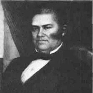
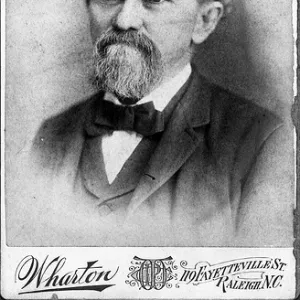
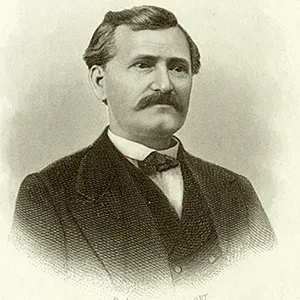
BIOGRAPHIES FOR![]()
Greene County
 WILDLIFE PROFILES FOR
Coastal Plain
GEOGRAPHIC INFORMATION
REGION: Coastal Plain
RIVER BASIN: Neuse, Map
NEIGHBORING COUNTIES: Lenoir, Pitt, Wayne, Wilson