Have you ever wondered what life must have been like before the invention of trains, cars, and planes? Today you could drive by car from Wilmington, NC to Boone, NC in a little over 5 hours. Imagine a time when that same route could only be traveled by foot or on horseback! In the 1700s there were no roads or cars, and that trip would take two or more weeks in the best of circumstances on a horse, even longer with a wagon. And the way was hard and often dangerous.
North Carolina’s American Indian tribes traveled by foot and navigated waterways by canoe, until they acquired horses from European explorers and settlers. European settlers also traveled by foot and by horseback. And some even traveled by wagon if they were prosperous enough to own one. In the 1700s there were no real roads by today’s standards. But well-worn paths began to develop along common trade and migration routes as people settled the interior. Many of these paths grew from travel and trading paths used by American Indians before the arrival of Europeans. The Great Wagon Road was one of these. It was really a dirt path, wide enough in places for a wagon. But it stretched from Pennsylvania to Georgia.
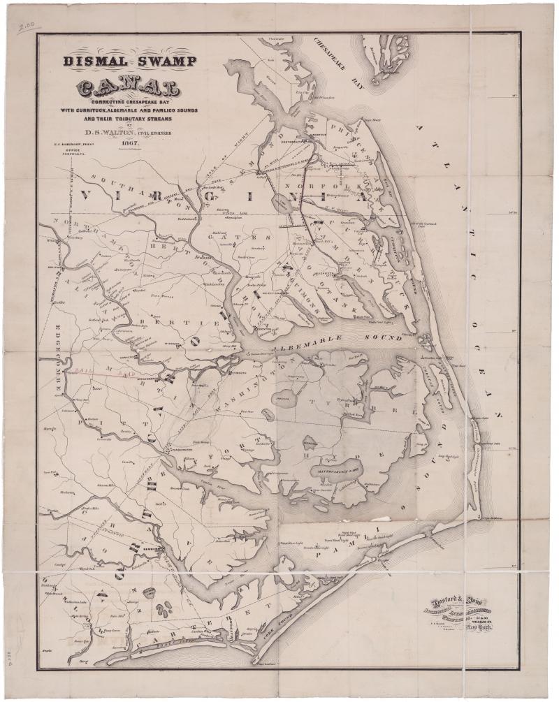
By the middle of the 1800s, transportation had improved. North Carolina’s state government had focused on road construction and waterway development. This helped move people and goods across the state from horse-drawn wagons, steamboats and barges. From the 1830s to the 1850s, plank roads were built along common routes. Planks of wood were placed side by side to create a level surface to help wagons and carts move more easily. That’s pretty different from today’s asphalt hard surface highways. And canals were built to carry boats and barges from main waterways.
In the second half of the 19th century (the 1800s), improvements in steam locomotives and development of rail lines made rail travel common and popular. Rail lines were even built to tourist destinations like Mt. Mitchell. By the 1920s, rail travel was the most popular form of long-distance travel, with steel cars and even heating.
By the late 1920s, the automobile had become common and convenient. Even so, most of the roads in the state were still made of dirt. In 1910, the state had nearly 50,000 miles of road, but only about 2,000 were paved. The U.S. Congress passed the Federal Road Act in 1916 to fund highway development. North Carolina was a little slow to get on that wagon. Governor Morrison was a big supporter of highways and helped the General Assembly pass the Highway Act of 1921. This helped secure state and federal money to build better roads. And by the 1930s the state of North Carolina had begun purchasing school buses. The developments in transportation, from airplanes to public transportation have only multiplied since then. Today the state has 80,000 miles of roads. That’s enough to circle the earth 3 times!
What questions do you have about transportation that you would like to explore? What else would you add to this history? What role has transportation played in your life? Have you noticed any ways transportation has changed in the world in your life?
To learn more, visit these NCpedia pages:
History of Transportation
Transportation Improvements in the 1920s
Railroad History
Steamboating
Aviation