This content is from the North Carolina Gazetteer, edited by William S. Powell and Michael Hill. Copyright © 2010 by the University of North Carolina Press. Used by permission of the publisher. For personal use and not for further distribution. Please submit permission requests for other use directly to the publisher.

Some place names included in The North Carolina Gazetteer contain terms that are considered offensive.
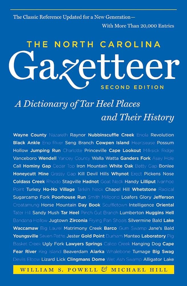
"The North Carolina Gazetteer is a geographical dictionary in which an attempt has been made to list all of the geographic features of the state in one alphabet. It is current, and it is historical as well. Many features and places that no longer exist are included; many towns and counties for which plans were made but which never materialized are also included. Some names appearing on old maps may have been imaginary, but many of them also appear in this gazetteer.

Each entry is located according to the county in which it is found. I have not felt obliged to keep entries uniform. The altitude of a place, the date of incorporation of a city or town, may appear in the beginning of one entry and at the end of another. Some entries may appear more complete than others. I have included whatever information I could find. If there is no comment on the origin or meaning of a name, it is because the information was not available. In some cases, however, resort to an unabridged dictionary may suggest the meaning of many names."

--From The North Carolina Gazetteer, 1st edition, preface by William S. Powell

Alphabetical Glossary Filter

"
3
A
B
C
D
E
F
G
H
I
J
K
L
M
N
O
P
Q
R
S
T
U
V
W
X
Y
Z
Place Description
Air Bellows Gap

on the Alleghany-Wilkes county line. An early road across the Blue Ridge Mountains passed through the gap. Alt. 3,744.

Airbellows

former community in S Alleghany County, now an entrance to the Blue Ridge Parkway. Alt. 3,800.

Airlie

community in W Halifax County. Named for plantation home of jurist Walter Clark (1846-1924).

Akwetiyi

a spot on Tuckasegee River in NW Jackson County, about 1 mi. NW of town of Dillsboro, and between mouth of Dicks Creek and mouth of Laurel Branch. According to Indian tradition there was a dangerous water monster in the river. The meaning of the name is lost.

Alamance

community in W Alamance County. A post office est. there as early as 1828; cotton mill built in 1837 by E. M. Holt. Alt. 454. Post office name for many years was Allemance.

Alamance Battleground State Historic Site

W central Alamance County. Markers and a museum on the 40-acre site tell the story of the battle on May 16, 1771, in which the North Carolina militia under Gov. William Tryon defeated the Regulators.

Alamance Church

community in SE Guilford County. Second Ulster Scots Presbyterian Church in Guilford County, founded in the second half of eighteenth century.

Alamance County

was formed in 1849 from Orange County. Located in the central part of the state, it is bounded by Orange, Chatham, Randolph, Guilford, and Caswell Counties. Named for Great Alamance Creek, which see, or the Battle of Alamance, May 16, 1771. The name appears as Aramancy River in the writings of William Byrd, 1728. Area: 434 sq. mi. County seat: Graham, with an elevation of 656 ft. Townships, now numbered 1 to 13, were formerly Patterson, Coble, Boon Station, Morton, Faucette, Graham, Albright, Newlin, Thompson, Melville, Pleasant Grove, Burlington, and Haw River. Produces auto parts, tobacco, poultry, dairy and beef cattle, pecans, textiles, electronics, paper boxes, apparel, crushed stone, pyrophyllite, and bricks.

Alamance Creek

See Great Alamance Creek.

Alarka

community in S Swain County on Yalaka Creek, from which it takes its name.