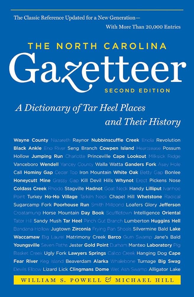
This content is from the North Carolina Gazetteer, edited by William S. Powell and Michael Hill. Copyright © 2010 by the University of North Carolina Press. Used by permission of the publisher. For personal use and not for further distribution. Please submit permission requests for other use directly to the publisher.

Some place names included in The North Carolina Gazetteer contain terms that are considered offensive.

"The North Carolina Gazetteer is a geographical dictionary in which an attempt has been made to list all of the geographic features of the state in one alphabet. It is current, and it is historical as well. Many features and places that no longer exist are included; many towns and counties for which plans were made but which never materialized are also included. Some names appearing on old maps may have been imaginary, but many of them also appear in this gazetteer.

Each entry is located according to the county in which it is found. I have not felt obliged to keep entries uniform. The altitude of a place, the date of incorporation of a city or town, may appear in the beginning of one entry and at the end of another. Some entries may appear more complete than others. I have included whatever information I could find. If there is no comment on the origin or meaning of a name, it is because the information was not available. In some cases, however, resort to an unabridged dictionary may suggest the meaning of many names."

--From The North Carolina Gazetteer, 1st edition, preface by William S. Powell
Alphabetical Glossary Filter

"
3
A
B
C
D
E
F
G
H
I
J
K
L
M
N
O
P
Q
R
S
T
U
V
W
X
Y
Z
Place Description
Alarka Creek

See also Yalaka Creek.

Albans

community in NE Union County.

Albemarle

city and county seat in N central Stanly County. Alt. 505. Post office opened there as Smith's Store in 1826; name changed to Albemarle, 1841. Inc. 1857. Named for George Monck (1608-79), Duke of Albemarle, one of the original Lords Proprietors of Carolina in 1663.

Albemarle Beach

NW Washington County on Albemarle Sound, W of the town of Mackeys. Formerly known as Reas Beach.

Albemarle City Lake

central Stanly County on Long Creek. Formed in 1915. Covers 75 acres; max. depth 40 ft. Fishing, swimming, boating.

Albemarle County

was est. in 1664 in the NE portion of the Lords Proprietors’ new province of Carolina covering a poorly defined 1,600 sq. mi. The first governor of the county was appointed in October 1664, and it soon also had a legislature and courts. By 1668 it was divided into Chowan, Currituck, Pasquotank, and Perquimans precincts. The county ceased to exist as a unit of government in Carolina in 1689, when Governor Seth Sothel departed. The next governor had his commission for "that part of our province of Carolina that lyes north and east of Cape feare," which was basically the whole of modern North Carolina.

Albemarle River

See Albemarle Sound.

Albemarle Section

See Albemarle, The.

Albemarle Sound

NE North Carolina, separated from the Atlantic Ocean by a part of the Outer Banks. Approx. 52 mi. long and 5 to 14 mi. wide. Max. depth 25 ft. Sea level; freshwater not affected by tide. Waters from the Chowan and Roanoke Rivers enter the sound on the w; it drains into Roanoke, Croatan, and Pamlico Sounds. Explored by Ralph Lane, 1586; known as Sea of Rawnocke (Roanoke Sea) in 1609. Appears as Roanoke Sound on the Comberford map, 1657. Known briefly in 1663 as Carolina River and appears as Albemarle River on the Locke map, 1671, and the Blome map, 1672. The John Barnwell map of about 1722 was one of the first to use the name Albemarle Sound. First permanent settlements in North Carolina were made along its N shore. Named after 1663 for George Monck, Duke of Albemarle, one of the Lords Proprietors of Carolina. See also Weapemeoc.

Albemarle Township

See North Albemarle Township; South Albemarle Township.