This content is from the North Carolina Gazetteer, edited by William S. Powell and Michael Hill. Copyright © 2010 by the University of North Carolina Press. Used by permission of the publisher. For personal use and not for further distribution. Please submit permission requests for other use directly to the publisher.

Some place names included in The North Carolina Gazetteer contain terms that are considered offensive.
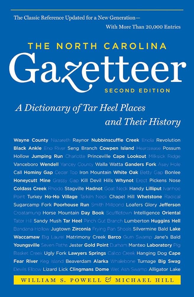
"The North Carolina Gazetteer is a geographical dictionary in which an attempt has been made to list all of the geographic features of the state in one alphabet. It is current, and it is historical as well. Many features and places that no longer exist are included; many towns and counties for which plans were made but which never materialized are also included. Some names appearing on old maps may have been imaginary, but many of them also appear in this gazetteer.

Each entry is located according to the county in which it is found. I have not felt obliged to keep entries uniform. The altitude of a place, the date of incorporation of a city or town, may appear in the beginning of one entry and at the end of another. Some entries may appear more complete than others. I have included whatever information I could find. If there is no comment on the origin or meaning of a name, it is because the information was not available. In some cases, however, resort to an unabridged dictionary may suggest the meaning of many names."

--From The North Carolina Gazetteer, 1st edition, preface by William S. Powell

Alphabetical Glossary Filter

"
3
A
B
C
D
E
F
G
H
I
J
K
L
M
N
O
P
Q
R
S
T
U
V
W
X
Y
Z
Place Description
Choggy Butte Mountain

in E Jackson County on the head of Mull Creek.

Chokeberry Branch

rises in N Swain County and flows W into Forney Creek.

Choowatic Creek

rises in SE Bertie County and flows E into Roquist Creek.

Choratuck Inlet

See Currituck Inlet.

Chowan

an Indian town, shown on the Moseley map, 1733, as lying in the S central part of present Gates County between Bennetts Creek and Trotman Creek.

Chowan Beach

See Mount Gallant.

Chowan County

was formed by 1668 as Shaftesbury Precinct of Albemarle County. Renamed Chowan Precinct about 1681. Located in the NE section of the state, it is bounded by Albemarle Sound, Chowan River, and Bertie, Hertford, Gates, and Perquimans Counties. It was named for the Chowan River. Area: 234 sq. mi. County seat: Edenton, with an elevation of 16 ft. Townships are nos. 1-4, formerly Edenton, Middle, Upper, and Yeopim. Produces corn, soybeans, peanuts, cotton, hogs, textiles, tires, boats, sweet potatoes, sorghum, cantaloupes, lumber, and processed seafood.

Chowan River

is formed on the Hertford-Gates county line a short distance S of the Virginia state line by the junction of the Nottoway and Blackwater Rivers. It flows SE on the Hertford-Gates and Bertie-Chowan county lines into Albemarle Sound. Named for the Chowanoc tribe of Indians who lived in the area. The word is a variant of the Algonquian sorwán (south). It may have derived from sowánohke (south country). The river was referred to by the Roanoke explorers, 1584-85, but given no specific name except as the location of the tribe. Appears as Choan River on the Comberford map, 1657.

Chowanoke

See Croatoan Island.

Chrissawn Knob

SE Yancey County on South Toe River near the mouth of Rock Creek.