This content is from the North Carolina Gazetteer, edited by William S. Powell and Michael Hill. Copyright © 2010 by the University of North Carolina Press. Used by permission of the publisher. For personal use and not for further distribution. Please submit permission requests for other use directly to the publisher.

Some place names included in The North Carolina Gazetteer contain terms that are considered offensive.
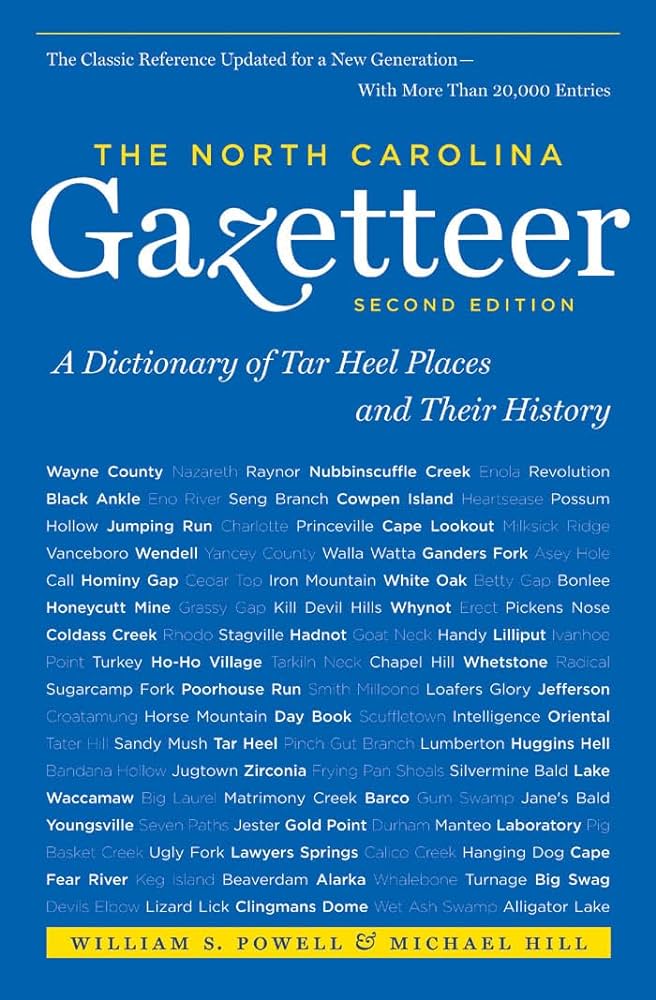
"The North Carolina Gazetteer is a geographical dictionary in which an attempt has been made to list all of the geographic features of the state in one alphabet. It is current, and it is historical as well. Many features and places that no longer exist are included; many towns and counties for which plans were made but which never materialized are also included. Some names appearing on old maps may have been imaginary, but many of them also appear in this gazetteer.

Each entry is located according to the county in which it is found. I have not felt obliged to keep entries uniform. The altitude of a place, the date of incorporation of a city or town, may appear in the beginning of one entry and at the end of another. Some entries may appear more complete than others. I have included whatever information I could find. If there is no comment on the origin or meaning of a name, it is because the information was not available. In some cases, however, resort to an unabridged dictionary may suggest the meaning of many names."

--From The North Carolina Gazetteer, 1st edition, preface by William S. Powell

Alphabetical Glossary Filter

"
3
A
B
C
D
E
F
G
H
I
J
K
L
M
N
O
P
Q
R
S
T
U
V
W
X
Y
Z
Place Description
Buncombe County

was formed in 1791 from Burke and Rutherford Counties. Located in the W section of the state, it is bounded by McDowell, Henderson, Haywood, Madison, and Yancey Counties. Named for Col. Edward Buncombe (1742-78), a Revolutionary War soldier. Area: 770 sq. mi. County seat: Asheville, with an elevation of 2,216 ft. Townships are Asheville, Avery Creek, Black Mountain, Broad River, Fairview, Flat Creek, French Broad, Ivy, Leicester, Limestone, Lower Hominy, Reems Creek, Sandy Mush, Swannanoa, and Upper Hominy. Produces tobacco, corn, cattle, printed products, engines, cutlery, wine, apparel, electronics, textiles, nursery products, lumber, and crushed stone. Rep. Felix Walker (1753-1828), in "speaking for Buncombe," gave rise to term "bunk."

Buncombe Hall

the home of Col. Edward Buncombe of the Continental Line, who was captured at Germantown and died a prisoner in 1778. Stood 1 mi. W of Roper, NW Washington County.

Buncombe Horse Range Ridge

S Yancey County between South Fork Upper Creek and Right Prong South Toe River.

Bundle Mountain

N Montgomery County between Buck Mountain and Morris Mountain.

Bunn

town in S Franklin County. Alt. 295. Settled about 1909; inc. 1913. Named for Green Bunn, local resident.

Bunnlevel

community in S Harnett County. Est. in 1904 or 1905 around railroad depot. Originally called Bunn's Level after a local resident's flat plot of land. Inc. 1921 as Bunlevel, but recently inactive in municipal affairs. Authorized by General Assembly in 1961 to est. municipal government if approved by vote, but the proposition was defeated.

Bunton Creek

See Banton Creek.

Bunton Island

lies off the SW shore of Roanoke Island, E Dare County, in the waters of Croatan Sound.

Bunyan

community in W Beaufort County. Alt. 14. A post office operated there from 1880 to 1902.

Burch

community in S Surry County. Alt. 881. A former post office named Rusk operated there, 1851-1951.