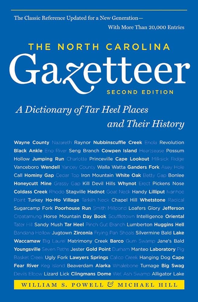
This content is from the North Carolina Gazetteer, edited by William S. Powell and Michael Hill. Copyright © 2010 by the University of North Carolina Press. Used by permission of the publisher. For personal use and not for further distribution. Please submit permission requests for other use directly to the publisher.

Some place names included in The North Carolina Gazetteer contain terms that are considered offensive.

"The North Carolina Gazetteer is a geographical dictionary in which an attempt has been made to list all of the geographic features of the state in one alphabet. It is current, and it is historical as well. Many features and places that no longer exist are included; many towns and counties for which plans were made but which never materialized are also included. Some names appearing on old maps may have been imaginary, but many of them also appear in this gazetteer.

Each entry is located according to the county in which it is found. I have not felt obliged to keep entries uniform. The altitude of a place, the date of incorporation of a city or town, may appear in the beginning of one entry and at the end of another. Some entries may appear more complete than others. I have included whatever information I could find. If there is no comment on the origin or meaning of a name, it is because the information was not available. In some cases, however, resort to an unabridged dictionary may suggest the meaning of many names."

--From The North Carolina Gazetteer, 1st edition, preface by William S. Powell
Alphabetical Glossary Filter

"
3
A
B
C
D
E
F
G
H
I
J
K
L
M
N
O
P
Q
R
S
T
U
V
W
X
Y
Z
Place Description
Wack

See Wachovia; Salem Creek.

Waco

town in E Cleveland County. Alt. 916. Settled 1857. Inc. 1887. Named by George W. Hendrick for Waco, Tex.

Waddells

community in central Rockingham County served by post office, 1876-1903. Known as Langdon after 1890.

Wade

town in NE Cumberland County. Settled about 1886. Inc. 1889; reincorporated 1913, but long inactive in municipal affairs. Named for N. G. Wade, who donated the railroad right-of-way. Alt. 141.

Wade Creek

rises in E Carteret County and flows S approx. 1 mi. into Jarrett Bay. Formerly also known as Willis Creek.

Wade Gap

in Newfound Mountain on Buncombe-Haywood county line near the headwaters of Sandy Mush Creek.

Wade Point

extends from S Pasquotank County into Albemarle Sound. Appears as Wades Point on the Moseley map, 1733. It lies between Big Flatty Creek and the Pasquotank River.

Wade's Shore

a bay on the N side of Shackle ford Banks, S Carteret County. A former whaling settlement by the same name existed there.

Wades Point

point of land in E Beaufort County on the N side of Pamlico River at the W side of the mouth of Pungo River, lat. 35°23'18" N., long. 76°34'35" W. See also Moores Beach. Appears as Battis Point on the Comberford map, 1657.

Wadesboro

town and county seat, central Anson County. Authorized to be est. 1783 as county seat. Called New Town until 1787, when it was changed to Wadesboro to honor Col. Thomas Wade, Revolutionary War patriot and brother-in-law of Patrick Boggan, pioneer settler. Alt. 423. Scientists from all over the United States and Europe gathered there in 1900 to view a total eclipse of the sun. Produces hosiery, textiles, wooden boxes, bricks, hoists, medical supplies, and food products.