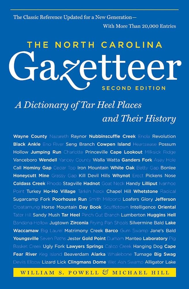
This content is from the North Carolina Gazetteer, edited by William S. Powell and Michael Hill. Copyright © 2010 by the University of North Carolina Press. Used by permission of the publisher. For personal use and not for further distribution. Please submit permission requests for other use directly to the publisher.

Some place names included in The North Carolina Gazetteer contain terms that are considered offensive.

"The North Carolina Gazetteer is a geographical dictionary in which an attempt has been made to list all of the geographic features of the state in one alphabet. It is current, and it is historical as well. Many features and places that no longer exist are included; many towns and counties for which plans were made but which never materialized are also included. Some names appearing on old maps may have been imaginary, but many of them also appear in this gazetteer.

Each entry is located according to the county in which it is found. I have not felt obliged to keep entries uniform. The altitude of a place, the date of incorporation of a city or town, may appear in the beginning of one entry and at the end of another. Some entries may appear more complete than others. I have included whatever information I could find. If there is no comment on the origin or meaning of a name, it is because the information was not available. In some cases, however, resort to an unabridged dictionary may suggest the meaning of many names."

--From The North Carolina Gazetteer, 1st edition, preface by William S. Powell
Alphabetical Glossary Filter

"
3
A
B
C
D
E
F
G
H
I
J
K
L
M
N
O
P
Q
R
S
T
U
V
W
X
Y
Z
Place Description
Vineyard Creek

rises in E Clay County and flows S into Shooting Creek.

Vineyard Mountain

S Clay County. Alt. approx. 4,900. An Englishman is said to have covered the mountain with grapevines, but his vineyard failed to prosper and he returned to England.

Vinson Store

former community in E Wayne County near West Bear Creek.

Viola

community in S Pender County served by post office, 1882-1901.

Violet

community in W Cherokee County on Sular Creek between Swansee and Morrow Gaps. Served by post office, 1909-33.

Virgil

community in E Watauga County.

Virgilina

town in NW Granville County on the Virginia-North Carolina border, hence its name. Inc. 1899 in North Carolina and 1900 in Virginia.

Virgin's Inlet

apparently a short-lived inlet in SE Onslow County from Brown's Sound into the Atlantic Ocean. It was described in records of 1784-85 as being near Gillets Creek.

Virginia

the name applied to the American territory granted by Queen Elizabeth to Walter Raleigh and explored in 1584 by Philip Amadas and Arthur Barlowe. The earliest evidence of the use of the name occurs before March 25, 1585, in Raleigh's seal as Lord and Governor of Virginia, which is now in the British Museum. The name honored Elizabeth, the "Virgin Queen," and was applied in the sixteenth century to the area explored from bases on Roanoke Island. In the seventeenth century, it came to be applied to the permanent settlement around Jamestown, and, after the granting of the Carolina Charter in 1663, it no longer was applied correctly to the territory that was soon to become North Carolina. See also South Virginia.

Virginia Creek

rises in SE Pender County and flows SE into Topsail Sound.