This content is from the North Carolina Gazetteer, edited by William S. Powell and Michael Hill. Copyright © 2010 by the University of North Carolina Press. Used by permission of the publisher. For personal use and not for further distribution. Please submit permission requests for other use directly to the publisher.

Some place names included in The North Carolina Gazetteer contain terms that are considered offensive.
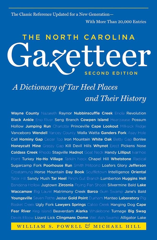
"The North Carolina Gazetteer is a geographical dictionary in which an attempt has been made to list all of the geographic features of the state in one alphabet. It is current, and it is historical as well. Many features and places that no longer exist are included; many towns and counties for which plans were made but which never materialized are also included. Some names appearing on old maps may have been imaginary, but many of them also appear in this gazetteer.

Each entry is located according to the county in which it is found. I have not felt obliged to keep entries uniform. The altitude of a place, the date of incorporation of a city or town, may appear in the beginning of one entry and at the end of another. Some entries may appear more complete than others. I have included whatever information I could find. If there is no comment on the origin or meaning of a name, it is because the information was not available. In some cases, however, resort to an unabridged dictionary may suggest the meaning of many names."

--From The North Carolina Gazetteer, 1st edition, preface by William S. Powell

Alphabetical Glossary Filter

"
3
A
B
C
D
E
F
G
H
I
J
K
L
M
N
O
P
Q
R
S
T
U
V
W
X
Y
Z
Place Description
Russtown

community in SW Brunswick County.

Ruth

community in N Forsyth County served by post office, 1885-1903.

Rutherford College

former town and college in E Burke County. The school was founded by R. L. Abernathy in 1853, and the 400-acre site was inc. as village of Excelsior in 1872; inc. as town of Rutherford College in 1881. Alt. 1,210. The school merged with Weaver College in 1932 and was moved to Brevard, which see, and renamed Brevard College. Town charter repealed in 1933. Now a residential community approx. 2 mi. E of town of Valdese. Named for John Rutherford, who donated the land for the school in 1853. Original post office, 1857-86, was named Happy Home; it also served Connelly Springs, which see.

Rutherford County

was formed in 1779 from Tryon County when it was divided to form Rutherford and Lincoln Counties. Located in the SW section of the state, it is bounded by the state of South Carolina and by Polk, Henderson, Buncombe, McDowell, Burke, and Cleveland Counties. It was named for Griffith Rutherford (1731-1800), leader of 1776 expedition against the Cherokee, member of the Provincial Congress, and Revolutionary War general. Area: 568 sq. mi. County seat: Rutherfordton, with an elevation of 1,096 ft. Townships are Camp Creek, Chimney Rock, Colfax, Cool Spring, Duncans Creek, Gilkey, Golden Valley, Green Hill, High Shoals, Logan Store, Morgan, Rutherfordton, Sulphur Springs, and Union. Produces corn, wheat, oats, cotton, hay, soybeans, boats, dairy products, livestock, hogs, textiles, apparel, lumber, sand, and gravel.

Rutherfords Mill

See Exeter.

Rutherfordton

town and county seat, W central Rutherford County. Served by post office since 1798. Est. 1787. Alt. 1,096. Town and county named for Gen. Griffith Rutherford (1731-1800), Revolutionary War leader. See also Gilbert Town; Mountain Creek.

Rutherfordton Township

central Rutherford County.

Rutherwood

community in E Watauga County S of South Fork New River.

Rutledge Creek

rises in NE Surry County and flows SE into Ararat River.

Ryan

community in N Robeson County served by post office, 1888-1902.