Buncombe County Resources
- View All:
- Biographies
- Monuments
- locations
ANCHOR (A North Carolina History Online Resource) is now its own website!
Copyright Notice: This article is from the Encyclopedia of North Carolina edited by William S. Powell. Copyright © 2006 by the University of North Carolina Press. Used by permission of the publisher. For personal use and not for further distribution. Please submit permission requests for other use directly to the publisher.
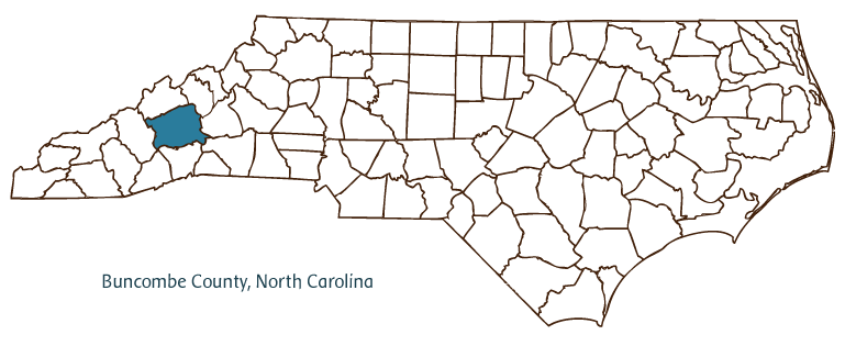
Buncombe County, nicknamed "Land of the Sky" for its rugged mountain beauty, is located in the Mountain region of western North Carolina. Buncombe's land includes parts of the Great Craggy Mountains and the Blue Ridge Mountains, and a section of the Eastern Continental Divide passes through it. Buncombe County was formed from Burke and Rutherford Counties in 1791. It was named for Edward Buncombe, a Revolutionary War colonel. Its earliest residents were the Cherokee Indians, who were later joined by Scottish, German, and English settlers, who came to populate the region.
Asheville, the county seat, was in 2005 North Carolina's tenth-largest city and the Mountain region's cultural, economic, and educational center. Asheville was incorporated in 1797 and named for Samuel Ashe, then governor of North Carolina. The city's many historic and cultural institutions include the Biltmore House, the Grove Park Inn, and the Thomas Wolfe Memorial. The University of North Carolina at Asheville adds to the cultural life of Buncombe County, as do Warren Wilson College and Montreat College, both near Asheville. Black Mountain College was one of the Southeast's most influential artistic centers from 1933 to 1956.
Tourism is one of Buncombe County's principal industries. The county's agricultural products include milk and dairy products, burley tobacco, swine, honey, and many berries, fruits, and nuts. Minerals mined in Buncombe County include garnet, corundum, kyanite, and moonstone, and manufactures produced there include hosiery, glass products, textiles and apparel, baby foods, and electronics. Buncombe County is home to the Southern Highland Craft Guild's Folk Art Center and the Mountain Dance and Folk Festival, as well as Culturefest, the Sourwood Festival, the Poetry Festival, and the Swannanoa Music Festival. In 2004 the population of Buncombe County stood at just over 215,000.
For an annotated history of the county's formation, with the laws affecting the county, boundary lines and changes, and other origin information, visit these references in The Formation of the North Carolina Counties (Corbitt, 2000), available online at North Carolina Digital Collections (note, there may be additional items of interest for the county not listed here):
County formation history: https://digital.ncdcr.gov/Documents/Detail/the-formation-of-the-north-ca...
Index entry for the county: https://digital.ncdcr.gov/Documents/Detail/the-formation-of-the-north-ca...
References:
Foster A. Sondley, A History of Buncombe County, North Carolina (1930).
Douglas Swaim, ed., Cabins and Castles: The History and Architecture of Buncombe County, North Carolina (1981).
Additional resources:
Corbitt, David Leroy. 2000. The formation of the North Carolina counties, 1663-1943. https://digital.ncdcr.gov/Documents/Detail/the-formation-of-the-north-carolina-counties-1663-1943/3692099?item=4553233 (accessed June 20, 2017).
Buncombe County Government: https://www.buncombecounty.org/
Asheville Area Chamber of Commerce: https://www.ashevillechamber.org/
DigitalNC, Buncombe County: https://www.digitalnc.org/counties/buncombe-county/
North Carolina Digital Collections (explore by place, time period, format): https://digital.ncdcr.gov
Image credits:
Rudersdorf, Amy. 2010. "NC County Maps." Government & Heritage Library, State Library of North Carolina.
Mazzocchi, Jay. "Buncombe County." NCpedia. State Library of NC. 2006. https://www.ncpedia.org/geography/buncombe.
BUNCOMBE COUNTY GOVERNMENT:
https://www.buncombecounty.org/
COUNTY SEAT: Asheville
FORMED: 1791
FORMED FROM: Burke, Rutherford
LAND AREA: 656.67 square miles
2020 POPULATION ESTIMATE: 269,452
White: 89.4%
Black/African American: 6.3%
American Indian: 0.5%
Asian: 1.4%
Pacific Islander: 0.2%
Two or more races: 2.2%
Hispanic/Latino: 6.8% (of any race)
From State & County QuickFacts, US Census Bureau, 2020.
CONGRESSIONAL DISTRICT: 10TH, 11TH
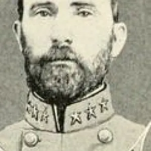
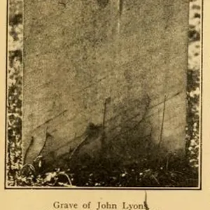
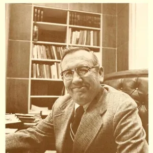
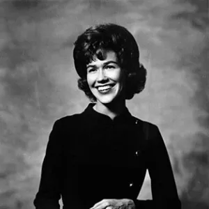
BIOGRAPHIES FOR![]()
Buncombe County
 WILDLIFE PROFILES FOR
Mountain region
GEOGRAPHIC INFORMATION
REGION: Mountain
RIVER BASIN: French Broad, Map
NEIGHBORING COUNTIES: Haywood, Henderson, Madison, McDowell, Rutherford, Yancey