This content is from the North Carolina Gazetteer, edited by William S. Powell and Michael Hill. Copyright © 2010 by the University of North Carolina Press. Used by permission of the publisher. For personal use and not for further distribution. Please submit permission requests for other use directly to the publisher.

Some place names included in The North Carolina Gazetteer contain terms that are considered offensive.
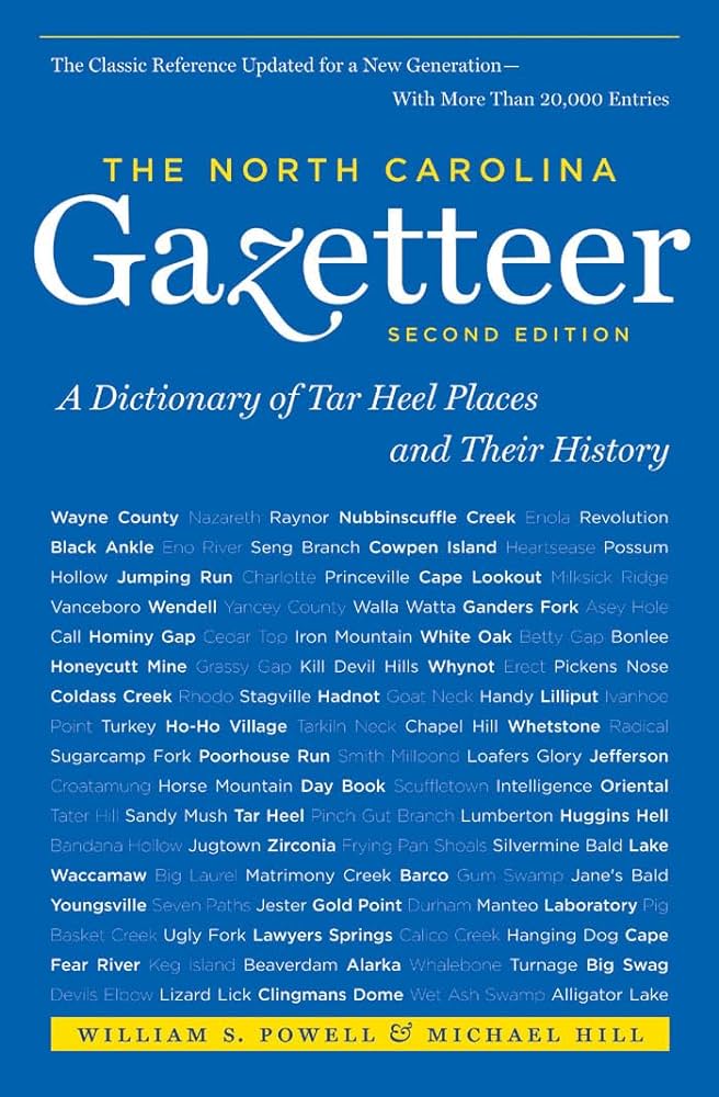
"The North Carolina Gazetteer is a geographical dictionary in which an attempt has been made to list all of the geographic features of the state in one alphabet. It is current, and it is historical as well. Many features and places that no longer exist are included; many towns and counties for which plans were made but which never materialized are also included. Some names appearing on old maps may have been imaginary, but many of them also appear in this gazetteer.

Each entry is located according to the county in which it is found. I have not felt obliged to keep entries uniform. The altitude of a place, the date of incorporation of a city or town, may appear in the beginning of one entry and at the end of another. Some entries may appear more complete than others. I have included whatever information I could find. If there is no comment on the origin or meaning of a name, it is because the information was not available. In some cases, however, resort to an unabridged dictionary may suggest the meaning of many names."

--From The North Carolina Gazetteer, 1st edition, preface by William S. Powell

Alphabetical Glossary Filter

"
3
A
B
C
D
E
F
G
H
I
J
K
L
M
N
O
P
Q
R
S
T
U
V
W
X
Y
Z
Place Description
Beason Creek

rises in SE Cleveland County and flows SE into Buffalo Creek.

Beatie's Ford

See Beattie's Ford.

Beaton Branch

rises in S Buncombe County and flows N into Bent Creek.

Beattie's Ford

across the Catawba River, Lincoln-Mecklenburg Counties near the Iredell County line. Named for John Beatty, who owned land in the area as early as 1749. A post office named Beatie's Ford existed in the vicinity from 1806 to 1838. A part of the British army, in pursuit of Gen. Nathanael Greene, crossed the river there on February 1, 1781. The site is now under the waters of Lake Norman.

Beatty Branch

rises in central McDowell County and flows SE into Paxton Creek.

Beattys Mill Pond

in E Bladen County on Lake Creek.

Beaty Spring Knob

S Haywood County on the head of Inman Branch.

Beaucatcher Mountain

central Buncombe County in E Asheville. Alt. approx. 3,200. About 1850 James W. Patton erected a summer house or arbor there, and it became quite popular with courting couples, hence the name. Highway construction in 1979 opened a cut in the mountain alongside 1929 tunnel despite public opposition.

Beaufort

town and county seat in S central Carteret County. Laid out in 1713 and settled soon afterward. Inc. 1723. Named for Henry Somerset (1684-1714), Duke of Beaufort, one of the Lords Proprietors of Carolina. Built on the site of an Indian village, Wareiock, said to have meant "Fish Town" or "Fishing Village"; the town was first called Fishtown. Home of North Carolina Maritime Museum. Alt. 9.

Beaufort County (BOE-furt)

was first called Pamptecough Precinct when it was formed in 1705 from Bath County; the name was changed to Beaufort about 1712 to honor Henry Somerset, Duke of Beaufort (1684-1714), who in 1709 became one of the Lords Proprietors. Located in the E part of the state, it is bounded by Craven, Hyde, Martin, Pitt, Pamlico, and Washington Counties. Area: 957 sq. mi. County seat: Washington, with an elevation of 11 ft. Townships are Bath, Long Acre, Chocowinity, Pantego, Richland, and Washington. Produces tobacco, corn, hogs, cattle, boats, air filters, soybeans, Irish potatoes, peanuts, wheat, oats, sorghum, cotton, canned seafood, lumber, and phosphate.