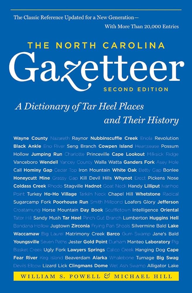
This content is from the North Carolina Gazetteer, edited by William S. Powell and Michael Hill. Copyright © 2010 by the University of North Carolina Press. Used by permission of the publisher. For personal use and not for further distribution. Please submit permission requests for other use directly to the publisher.

Some place names included in The North Carolina Gazetteer contain terms that are considered offensive.

"The North Carolina Gazetteer is a geographical dictionary in which an attempt has been made to list all of the geographic features of the state in one alphabet. It is current, and it is historical as well. Many features and places that no longer exist are included; many towns and counties for which plans were made but which never materialized are also included. Some names appearing on old maps may have been imaginary, but many of them also appear in this gazetteer.

Each entry is located according to the county in which it is found. I have not felt obliged to keep entries uniform. The altitude of a place, the date of incorporation of a city or town, may appear in the beginning of one entry and at the end of another. Some entries may appear more complete than others. I have included whatever information I could find. If there is no comment on the origin or meaning of a name, it is because the information was not available. In some cases, however, resort to an unabridged dictionary may suggest the meaning of many names."

--From The North Carolina Gazetteer, 1st edition, preface by William S. Powell
Alphabetical Glossary Filter

"
3
A
B
C
D
E
F
G
H
I
J
K
L
M
N
O
P
Q
R
S
T
U
V
W
X
Y
Z
Place Description
Batts Grave

See Batts Island.

Batts House

the home of Nathaniell Batts, first-known permanent white settler in North Carolina, was built as early as 1655 and stood between Roanoke River and Salmon Creek, E Bertie County, facing Albemarle Sound.

Batts Island

former island in Albemarle Sound near the mouth of the Yeopim River, SW Perquimans County. Named for Nathaniell Batts, who acquired property in the area, September 24, 1660. It is mentioned in local records as early as 1694. In 1749 it was 40 acres in area and had houses and orchards on it; by 1756 it had been reduced to 27 acres. Early in the twentieth century it was a campsite for fishermen, but later it was reduced to a mud flat with a few dead trees. A hurricane in the 1950s completely destroyed the island. Appears as Heriots Island, probably for Thomas Hariot (1560-1621), on the Smith map, 1624; as Hariots Island on the Comberford map, 1657: and as Bats Grave on the Moseley map, 1733, and the Collet map, 1770.

Baucoms

community in N central Union County on the head of Watson Creek.

Baughn Mountain

W Rockingham County E of the Mayo River and N of the Dan River near the junction of the two. Originally known as East Mayo Mountain; renamed for Henry Baughn, who settled there in 1814. By 1897 known as Cedar Point Mountain. Alt. 995.

Baum Creek

rises in SW Roanoke Island, Dare County, and flows SW into Oyster Creek.

Baum Point

extends from N Roanoke Island into Roanoke Sound, Dare County.

Bawdy Creek

rises in E Johnston County and flows SE into Neuse River.

Bawdy Swamp

rises in central Johnston County and flows SE into Bawdy Creek.

Baxter

community in E Henderson County on Tumblebug Creek. Post office operated there, 1881-1914.