This content is from the North Carolina Gazetteer, edited by William S. Powell and Michael Hill. Copyright © 2010 by the University of North Carolina Press. Used by permission of the publisher. For personal use and not for further distribution. Please submit permission requests for other use directly to the publisher.

Some place names included in The North Carolina Gazetteer contain terms that are considered offensive.
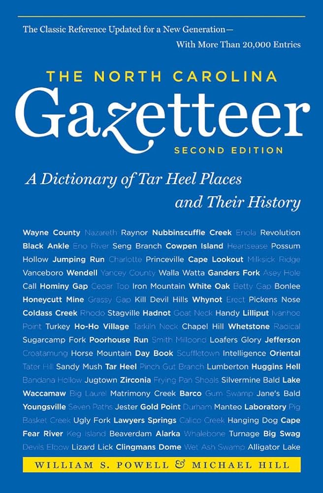
"The North Carolina Gazetteer is a geographical dictionary in which an attempt has been made to list all of the geographic features of the state in one alphabet. It is current, and it is historical as well. Many features and places that no longer exist are included; many towns and counties for which plans were made but which never materialized are also included. Some names appearing on old maps may have been imaginary, but many of them also appear in this gazetteer.

Each entry is located according to the county in which it is found. I have not felt obliged to keep entries uniform. The altitude of a place, the date of incorporation of a city or town, may appear in the beginning of one entry and at the end of another. Some entries may appear more complete than others. I have included whatever information I could find. If there is no comment on the origin or meaning of a name, it is because the information was not available. In some cases, however, resort to an unabridged dictionary may suggest the meaning of many names."

--From The North Carolina Gazetteer, 1st edition, preface by William S. Powell

Alphabetical Glossary Filter

"
3
A
B
C
D
E
F
G
H
I
J
K
L
M
N
O
P
Q
R
S
T
U
V
W
X
Y
Z
Place Description
Avents Creek

rises in N Harnett County and flows SW into Cape Fear River.

Aventsville

See Aventon.

Averasboro

formerly a town on the Cape Fear River in SE Harnett County. Provided for by legislative act in 1791, to be laid off on land owned by Alexander Avera and called Averasburg. Site of a gristmill about 1740 and soon afterward of other public buildings. Site of Confederate attack on Sherman's army, March 15, 1865. Town began to decline soon after Civil War and by 1888 was practically abandoned. Site, 1 mi. S of Erwin, is marked by grove of large oak and beech trees and sets of historic houses and historical markers.

Averasboro Township

SE Harnett County.

Avery County

was formed in 1911 from Mitchell, Watauga, and Caldwell Counties. In the NW section of the state, it is bounded by the state of Tennessee and by Watauga, Caldwell, Burke, McDowell, and Mitchell Counties. It was named for Colonel Waightstill Avery (1741-1821), Revolutionary soldier and attorney general of North Carolina. Area: 247 sq. mi. County seat: Newland, with an elevation of 3,589. Townships are Altamont, Banner Elk, Beech Mountain, Cranberry, Linville, Roaring Gap, Toe River, Wilson's Creek. Produces corn, dairy and beef cattle, Christmas trees, mica, hay, cabinets, textiles, kaolin, iron, sand and gravel. There are also deposits of olivine and asbestos in the county.

Avery Creek

community in S Buncombe County on the E limit of Pisgah National Forest.

Avery Creek Township

SW Buncombe County.

Averys Bald

See Big Yellow Mountain.

Avilla

community in W Alexander County on Middle Little River. Served by post office from 1888 to 1906.

Avoca

community in E Bertie County on the site of Avoca Plantation, part of the eighteenth-century Nathanael Duckenfield estate. Name comes from the phrase "sweet vale of Avoca" in Thomas Moore's poem "The Meeting of the Waters." See also Black Walnut Point.