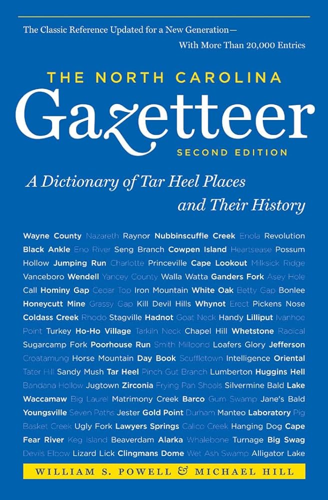
This content is from the North Carolina Gazetteer, edited by William S. Powell and Michael Hill. Copyright © 2010 by the University of North Carolina Press. Used by permission of the publisher. For personal use and not for further distribution. Please submit permission requests for other use directly to the publisher.

Some place names included in The North Carolina Gazetteer contain terms that are considered offensive.

"The North Carolina Gazetteer is a geographical dictionary in which an attempt has been made to list all of the geographic features of the state in one alphabet. It is current, and it is historical as well. Many features and places that no longer exist are included; many towns and counties for which plans were made but which never materialized are also included. Some names appearing on old maps may have been imaginary, but many of them also appear in this gazetteer.

Each entry is located according to the county in which it is found. I have not felt obliged to keep entries uniform. The altitude of a place, the date of incorporation of a city or town, may appear in the beginning of one entry and at the end of another. Some entries may appear more complete than others. I have included whatever information I could find. If there is no comment on the origin or meaning of a name, it is because the information was not available. In some cases, however, resort to an unabridged dictionary may suggest the meaning of many names."

--From The North Carolina Gazetteer, 1st edition, preface by William S. Powell
Alphabetical Glossary Filter

"
3
A
B
C
D
E
F
G
H
I
J
K
L
M
N
O
P
Q
R
S
T
U
V
W
X
Y
Z
Place Description
Archie's Point

point of land extending from Bogue Banks into Bogue Sound, SW Carteret County. Named for Archibald Smith. Sometimes also called Point of Woods.

Archies Creek

rises in NE Surry County and flows E into Stokes County, where it enters Dan River.

Archies Knob

NW Stokes County near Dan River.

Arcola

community in SE Warren County E of Fishing Creek. Post office est. there in 1849, but discontinued in 1954.

Arcot

community in central Sampson County served by post office, 1894-1902.

Arden

town in S Buncombe County. Settled about 1840. Inc. 1883, but long inactive in municipal affairs. Known first as Shufordsville. Renamed for the Forest of Arden in Shakespeare's play As You Like It Alt. 2,225.

Ardreys

community in S Mecklenburg County served by post office, 1898-1902.

Ardulusa

community on Rockfish Creek in S Cumberland County.

Arenuse Creek

consists of two branches, both rising in central Camden County and flowing generally SW into Pasquotank River. The branches come together in such a fashion that they seem to form an arrow nose. The fact was noted by the Indians, and the white settlers merely translated their word for "arrow nose" when they gave the creek its present name. The present name appears in records as early as 1694. To distinguish between the two branches, local inhabitants sometimes refer to First Milldam (nearest the county seat) and Second Milldam since water mills existed on each.

Argo

former town in N Nash County on Short Swamp Branch. Inc. 1889. Nearby Argo Gold Mine worked from about 1850 until about 1920. Both town and mine are now abandoned.