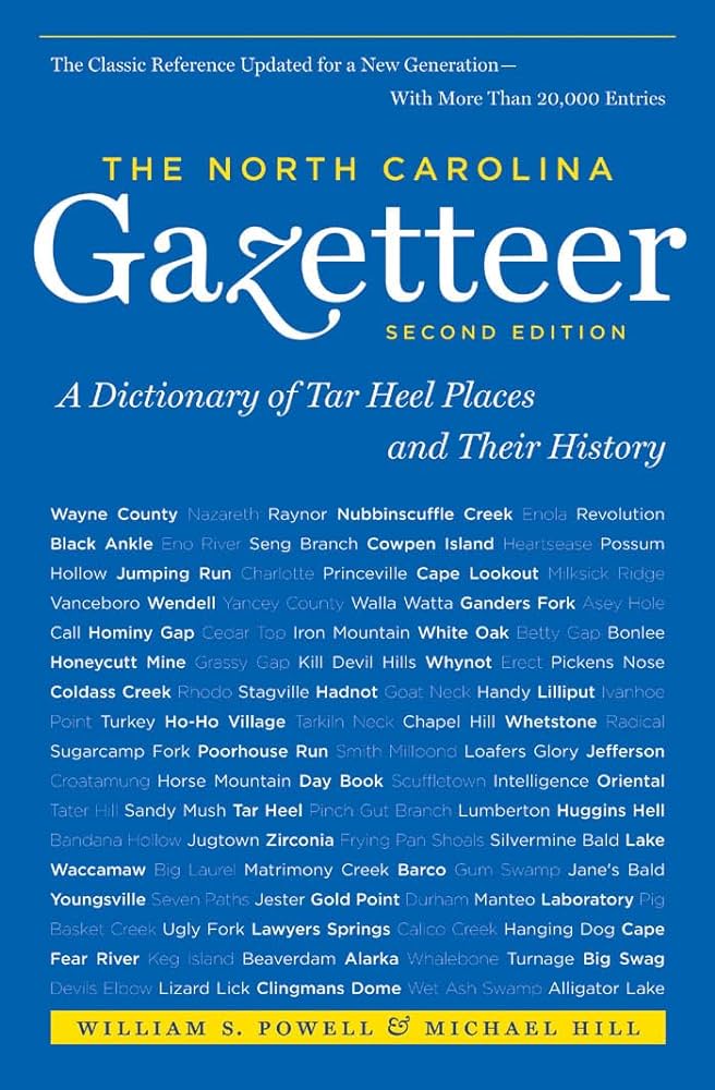
This content is from the North Carolina Gazetteer, edited by William S. Powell and Michael Hill. Copyright © 2010 by the University of North Carolina Press. Used by permission of the publisher. For personal use and not for further distribution. Please submit permission requests for other use directly to the publisher.

Some place names included in The North Carolina Gazetteer contain terms that are considered offensive.

"The North Carolina Gazetteer is a geographical dictionary in which an attempt has been made to list all of the geographic features of the state in one alphabet. It is current, and it is historical as well. Many features and places that no longer exist are included; many towns and counties for which plans were made but which never materialized are also included. Some names appearing on old maps may have been imaginary, but many of them also appear in this gazetteer.

Each entry is located according to the county in which it is found. I have not felt obliged to keep entries uniform. The altitude of a place, the date of incorporation of a city or town, may appear in the beginning of one entry and at the end of another. Some entries may appear more complete than others. I have included whatever information I could find. If there is no comment on the origin or meaning of a name, it is because the information was not available. In some cases, however, resort to an unabridged dictionary may suggest the meaning of many names."

--From The North Carolina Gazetteer, 1st edition, preface by William S. Powell
Alphabetical Glossary Filter

"
3
A
B
C
D
E
F
G
H
I
J
K
L
M
N
O
P
Q
R
S
T
U
V
W
X
Y
Z
Place Description
Williams Millpond

S Wayne County on a tributary of Northeast Cape Fear River. Dam and corn mill built there prior to 1915 by Robert Williams, for whom it is named. Max. depth 10 ft.; area 25 acres. Fishing and boating; open to the public. Owned by Elizabeth Wooten Holmes, granddaughter of builder.

Williams Mountain

E Haywood County, extends NE from Beaverdam Creek to Big Butte Mountain.

Williams Old Mill Branch

rises in central Sampson County and flows SW into Great Coharie Creek.

Williams Pond

See Nobles Mill Pond.

Williams Store

community in W Halifax County.

Williams Township

NE Chatham County.

Williamsboro

town in N Vance County near the head of Little Island Creek. It was authorized to be laid out in 1786 and inc. 1808. Long inactive in municipal affairs. The place was first called The Lick for a salt lick in the vicinity. It was later known as Nutbush for the creek named by William Byrd's dividing-line party in 1728 because of the profusion of hazelnuts there. Williamsboro was named in honor of Judge John Williams (1732-99). St. John's Episcopal Church there, dating from 1757, has been restored to its original condition.

Williamsboro Township

NW Vance County.

Williamsburg

former town in NE Iredell County. Commissioners appointed and town laid out 1815. Long inactive in municipal affairs.

Williamsburg Township

SE Rockingham County.