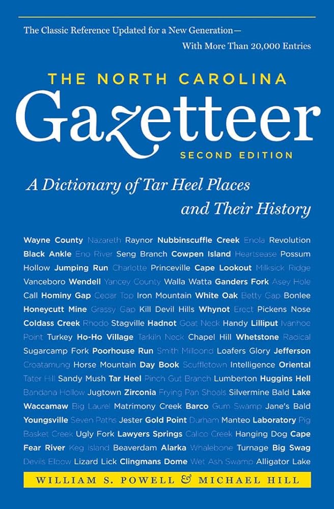
This content is from the North Carolina Gazetteer, edited by William S. Powell and Michael Hill. Copyright © 2010 by the University of North Carolina Press. Used by permission of the publisher. For personal use and not for further distribution. Please submit permission requests for other use directly to the publisher.

Some place names included in The North Carolina Gazetteer contain terms that are considered offensive.

"The North Carolina Gazetteer is a geographical dictionary in which an attempt has been made to list all of the geographic features of the state in one alphabet. It is current, and it is historical as well. Many features and places that no longer exist are included; many towns and counties for which plans were made but which never materialized are also included. Some names appearing on old maps may have been imaginary, but many of them also appear in this gazetteer.

Each entry is located according to the county in which it is found. I have not felt obliged to keep entries uniform. The altitude of a place, the date of incorporation of a city or town, may appear in the beginning of one entry and at the end of another. Some entries may appear more complete than others. I have included whatever information I could find. If there is no comment on the origin or meaning of a name, it is because the information was not available. In some cases, however, resort to an unabridged dictionary may suggest the meaning of many names."

--From The North Carolina Gazetteer, 1st edition, preface by William S. Powell
Alphabetical Glossary Filter

"
3
A
B
C
D
E
F
G
H
I
J
K
L
M
N
O
P
Q
R
S
T
U
V
W
X
Y
Z
Place Description
Wethero Mountain

between Cox Creek and Clear Creek in N Henderson County.

Weyanok Creek

See Potecasi Creek.

Weyanoke Creek

is mentioned in the Carolina Charter of 1665, in which the N boundary of the province is described as lying "within or about the degrees of 36 and 30 minutes northern latitude." It is shown on one version of the Comberford map, 1657, as Weyanoke River and on the other as Wepanoke River, one of several rivers flowing into Chowan River. Name soon fell out of use. Virginians thought it was intended to refer to Wiccacon River, while North Carolinians thought it was Nottoway River. Owing to the disagreement, a strip 15 mi. wide was long in dispute.

Weymouth Woods Sandhills Nature Preserve

a 403-acre tract of forest land SE of Southern Pines, SE Moore County. Vegetation varies from dense hardwood swamp forest to open stands of longleaf pine. Given to the state of North Carolina by Katharine (Mrs. James) Boyd in 1963. Alt. 350 to 500 ft.

Whale Camp Point

See Camp Point.

Whale Head Bay

in Currituck Sound off the W shore of Currituck Banks, E Currituck County a short distance S of Corolla.

Whalebone

commercial intersection on Bodie Island, E Dare County about 2½ mi. S of the town of Nags Head. Began around 1930 as intersection of then-existing sand trails and roads. Originally important commercial center. Named for whalebones in front of service station once located there. Also known as Whalebone Junction.

Whalebone Inlet

See Drum Inlet.

Whaley

community in N Avery County. Said to have been named for one Whaley, who became frightened by a screech owl and hid in a hollow log until morning.

Whaley Branch

rises in W Haywood County near the Tennessee state line and flows SW into Big Creek.