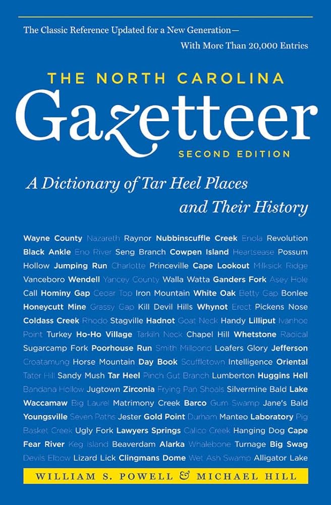
This content is from the North Carolina Gazetteer, edited by William S. Powell and Michael Hill. Copyright © 2010 by the University of North Carolina Press. Used by permission of the publisher. For personal use and not for further distribution. Please submit permission requests for other use directly to the publisher.

Some place names included in The North Carolina Gazetteer contain terms that are considered offensive.

"The North Carolina Gazetteer is a geographical dictionary in which an attempt has been made to list all of the geographic features of the state in one alphabet. It is current, and it is historical as well. Many features and places that no longer exist are included; many towns and counties for which plans were made but which never materialized are also included. Some names appearing on old maps may have been imaginary, but many of them also appear in this gazetteer.

Each entry is located according to the county in which it is found. I have not felt obliged to keep entries uniform. The altitude of a place, the date of incorporation of a city or town, may appear in the beginning of one entry and at the end of another. Some entries may appear more complete than others. I have included whatever information I could find. If there is no comment on the origin or meaning of a name, it is because the information was not available. In some cases, however, resort to an unabridged dictionary may suggest the meaning of many names."

--From The North Carolina Gazetteer, 1st edition, preface by William S. Powell
Alphabetical Glossary Filter

"
3
A
B
C
D
E
F
G
H
I
J
K
L
M
N
O
P
Q
R
S
T
U
V
W
X
Y
Z
Place Description
Weaverville Reservoir

N Buncombe County on Ox Creek near Bull Mountain.

Webb

community in W Mitchell County on Brummett Creek.

Webb Branch

rises in SW Buncombe County near Holland Mountain and flows SW into Hominy Creek.

Webb Cove

the valley through which Webb Cove Creek flows in central Buncombe County.

Webb Cove Creek

rises in the Elk Mountains in central Buncombe County and flows SW to join Linn Cove Creek in forming Beaverdam Creek.

Webb Creek

rises in E central Avery County and flows SE into Gragg Prong.

Webb Lake

S Jackson County on Cedar Creek. Formed before 1946; covers 5 acres and has max. depth of 12 ft. Used for fishing. Not open to the public.

Webbs

community in S Edgecombe County near headwaters of Otter Creek.

Webbs Creek

rises in E Rutherford County and flows S into Second Broad River.

Webbs Mill Branch

rises in SE Halifax County and flows SE into Kehukee Swamp.