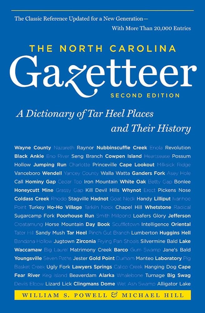
This content is from the North Carolina Gazetteer, edited by William S. Powell and Michael Hill. Copyright © 2010 by the University of North Carolina Press. Used by permission of the publisher. For personal use and not for further distribution. Please submit permission requests for other use directly to the publisher.

Some place names included in The North Carolina Gazetteer contain terms that are considered offensive.

"The North Carolina Gazetteer is a geographical dictionary in which an attempt has been made to list all of the geographic features of the state in one alphabet. It is current, and it is historical as well. Many features and places that no longer exist are included; many towns and counties for which plans were made but which never materialized are also included. Some names appearing on old maps may have been imaginary, but many of them also appear in this gazetteer.

Each entry is located according to the county in which it is found. I have not felt obliged to keep entries uniform. The altitude of a place, the date of incorporation of a city or town, may appear in the beginning of one entry and at the end of another. Some entries may appear more complete than others. I have included whatever information I could find. If there is no comment on the origin or meaning of a name, it is because the information was not available. In some cases, however, resort to an unabridged dictionary may suggest the meaning of many names."

--From The North Carolina Gazetteer, 1st edition, preface by William S. Powell
Alphabetical Glossary Filter

"
3
A
B
C
D
E
F
G
H
I
J
K
L
M
N
O
P
Q
R
S
T
U
V
W
X
Y
Z
Place Description
Spear Tops Mountain

on Avery-Mitchell county line. Named because of its two spear-shaped peaks.

Speculation Land

massive tract in W Polk and E Henderson Counties acquired in 1790s by Speculation Land Company organized by Tench Coxe of Philadelphia. Some property remained unclaimed into the mid-twentieth century. In time, land was managed by Carolina Power Company (later Duke Power) and today is part of the Green River wildlife management area.

Speed

town in E Edgecombe County; inc. 1901. Named for E. T. Speed.

Speedwell

community in W Jackson County on Tilley Creek.

Speights Bridge

former community in N Greene County on Contentnea Creek. Settled about 1751 by Speight family, some of whom operated a toll bridge there. Civil War muster grounds a short distance n. When Fieldsboro (now Walstonburg) developed during the 1880s, Speights Bridge declined.

Speights Bridge Township

N Greene County.

Spence Field

bald spot on the Swain County, N.C.-Sevier County, Tenn., line in Great Smoky Mountains National Park near lat. 35°33'48" N., long. 83°43'58" W. Alt. 4,886.

Spencer

town in E Rowan County. Construction of shops for the Southern Railway was begun there in 1896. Inc. in 1901 and named for Samuel Spencer (1847-1906), president of Southern Railway. Whiteheads Mill appears on Grants Creek near present site of Spencer on the Collet map, 1770. Alt. 747. Home to North Carolina Transportation Museum, a State Historic Site.

Spencer Mountain

E central Gaston County. Broadcast towers are there. Named for Zachariah Spencer, local Loyalist (Tory) who was captured during Revolutionary War, tried, and condemned to be shot. He turned "Whig," promising allegiance to the new republic; having no Bible, he took an oath on an almanac and was released. Alt. 1,304.

Spencers Fork

rises in NE Caldwell County and flows SW into Brumleys Creek.