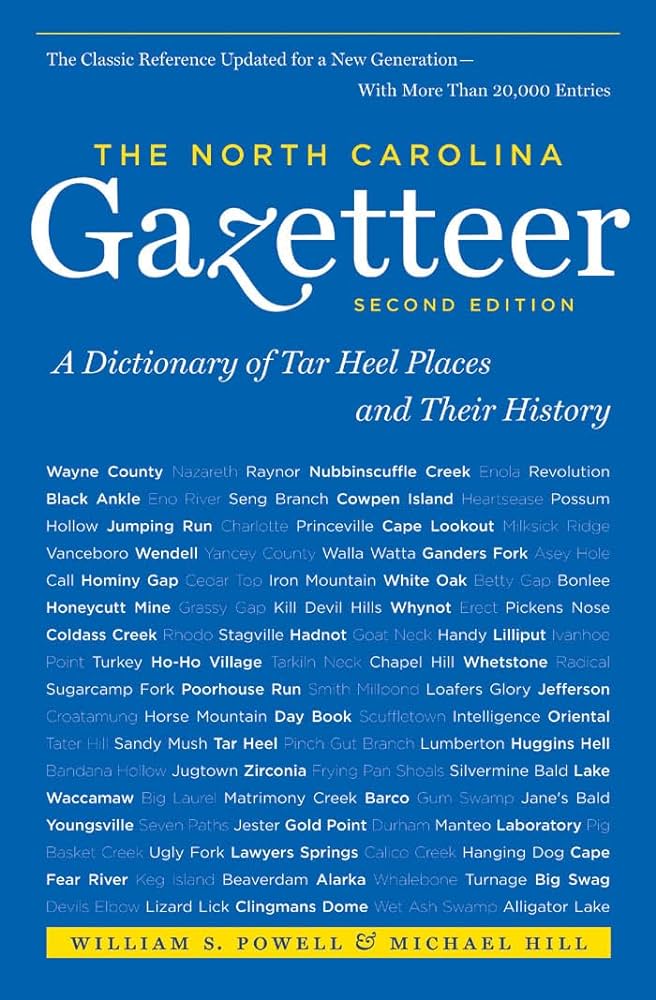
This content is from the North Carolina Gazetteer, edited by William S. Powell and Michael Hill. Copyright © 2010 by the University of North Carolina Press. Used by permission of the publisher. For personal use and not for further distribution. Please submit permission requests for other use directly to the publisher.

Some place names included in The North Carolina Gazetteer contain terms that are considered offensive.

"The North Carolina Gazetteer is a geographical dictionary in which an attempt has been made to list all of the geographic features of the state in one alphabet. It is current, and it is historical as well. Many features and places that no longer exist are included; many towns and counties for which plans were made but which never materialized are also included. Some names appearing on old maps may have been imaginary, but many of them also appear in this gazetteer.

Each entry is located according to the county in which it is found. I have not felt obliged to keep entries uniform. The altitude of a place, the date of incorporation of a city or town, may appear in the beginning of one entry and at the end of another. Some entries may appear more complete than others. I have included whatever information I could find. If there is no comment on the origin or meaning of a name, it is because the information was not available. In some cases, however, resort to an unabridged dictionary may suggest the meaning of many names."

--From The North Carolina Gazetteer, 1st edition, preface by William S. Powell
Alphabetical Glossary Filter

"
3
A
B
C
D
E
F
G
H
I
J
K
L
M
N
O
P
Q
R
S
T
U
V
W
X
Y
Z
Place Description
Skull Camp Mountain

NW Surry County. Alt. 2,082. A post office, Scull Camp, served the area, 1800-1856. The name appears on the U.S. Coast Survey map, 1865.

Skunk Creek

rises in central Lee County and flows NW into Big Buffalo Creek.

Sky View Pond

spring-fed lake in NE Iredell County. Formed in 1950; covers 38 acres, with a max. depth of 35 ft. Fishing, swimming, boating.

Skyco

former community and steamboat landing on the SW shore of Roanoke Island, E Dare County. It was on Ashby Harbor. Named for Skiko, son of the chief of the Choanoke Indians, who was taken prisoner by Ralph Lane in 1586. Skyco was a post office from 1892 until 1913.

Skyland

community in S Buncombe County. Alt. 2,257. Est. 1888 by Otis A. Miller as a resort. Produces electronic components.

Skyland Lake

S Buncombe County on Powell Creek, was formed in 1963 by Carolina Power and Light Company with the construction of an E dam and concrete spillway. It covers 320 acres, with a max. depth of 100 ft. and a shoreline of 9 mi. Used to condense turbine-exhaust steam at a steam power-generating plant and for public recreation.

Skyuka Creek

rises in S Polk County E of Tryon Mountain and flows S into Pacolet River. Named for the Cherokee brave who, about 1774, showed his friendship for the whites by revealing to them an unknown route through the mountains. Knowledge of the route enabled Capt. Thomas Howard to defeat the Indians at Round Mountain, which see.

Skyuka Mountain

SW Polk County rising above the town of Tryon. Said to be named for Skyuka, son of a Cherokee chief. Skyuka was thrown from his horse and broke his leg when the horse became frightened by a snake. Capt. Thomas Howard found Skyuka and set his leg, and the two became friends. See also Howard Gap.

Slab Camp Branch

rises in N Swain County in Great Smoky Mountains National Park and flows E into Forney Creek.

Slab Ridge

See Sharon.