This content is from the North Carolina Gazetteer, edited by William S. Powell and Michael Hill. Copyright © 2010 by the University of North Carolina Press. Used by permission of the publisher. For personal use and not for further distribution. Please submit permission requests for other use directly to the publisher.

Some place names included in The North Carolina Gazetteer contain terms that are considered offensive.
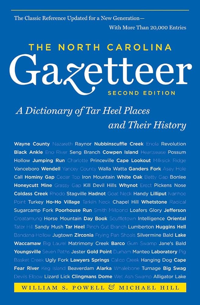
"The North Carolina Gazetteer is a geographical dictionary in which an attempt has been made to list all of the geographic features of the state in one alphabet. It is current, and it is historical as well. Many features and places that no longer exist are included; many towns and counties for which plans were made but which never materialized are also included. Some names appearing on old maps may have been imaginary, but many of them also appear in this gazetteer.

Each entry is located according to the county in which it is found. I have not felt obliged to keep entries uniform. The altitude of a place, the date of incorporation of a city or town, may appear in the beginning of one entry and at the end of another. Some entries may appear more complete than others. I have included whatever information I could find. If there is no comment on the origin or meaning of a name, it is because the information was not available. In some cases, however, resort to an unabridged dictionary may suggest the meaning of many names."

--From The North Carolina Gazetteer, 1st edition, preface by William S. Powell

Alphabetical Glossary Filter

"
3
A
B
C
D
E
F
G
H
I
J
K
L
M
N
O
P
Q
R
S
T
U
V
W
X
Y
Z
Place Description
Bertie

former town in SE Bertie County. Inc. 1939 and merged with the town of Windsor in 1959. Known earlier as Rosemont.

Bertie County (BURR-tee)

was formed in 1722 from Chowan County. Located in the NE section of the state, it is bounded by Albemarle Sound, Chowan River, and Washington, Martin, Halifax, Northampton, and Hertford Counties. Area: 721 sq. mi. Named for James Bertie (1673-1735), who held a proprietary share of North Carolina. His brother Henry (1675-1735) appears as a Proprietor in 1728, and it has often been said that the county was named for both men. County seat: Windsor, with an alt. of 10 ft. Townships are Colerain, Indian Woods, Merry Hill, Mitchells, Roxobel, Snake Bite, Whites, Windsor, and Woodville. Site of the home of Nathaniell Batts, first known permanent white settler in North Carolina, which was built by 1655. Produces tobacco, corn, soybeans, peanuts, cotton, hogs, sweet potatoes, poultry, seafood, and lumber. See also Society Parish.

Berwick

community in W central Bladen County.

Bessemer City

town in W Gaston County. Inc. 1893. Named for Sir Henry Bessemer (1813-98), discoverer of process for making steel from cast iron. Iron ore had been found in the vicinity, and there were hopes that steel mills might be est. there. Produces textiles, machinery, and chemicals. Alt. 912.

Bessie

community on the head of Flat Creek in SW Jackson County.

Best

See Biltmore.

Beston

community in SE Wayne County served by post office, 1882-1910.

Beta

community in N Jackson County on Scott Creek. Alt. 2,145.

Bethabara

See Old Town.

Bethania

town in W Forsyth County on Muddy Creek. Settled 1759, inc. 1839, but no longer active in municipal affairs. Named by the Moravians, whose second or "new town" it was, for the biblical town of Bethany. Refugees during the French and Indian War found protection within the Bethania stockade, and many of them remained to build homes there. Alt. 789.