Macon County Resources
- View All:
- Biographies
- Monuments
- locations
ANCHOR (A North Carolina History Online Resource) is now its own website!
Copyright Notice: This article is from the Encyclopedia of North Carolina edited by William S. Powell. Copyright © 2006 by the University of North Carolina Press. Used by permission of the publisher. For personal use and not for further distribution. Please submit permission requests for other use directly to the publisher.
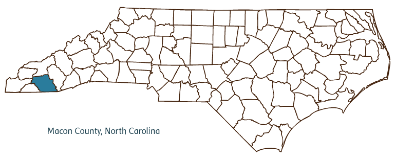
Macon County, located in North Carolina's Mountain region, was formed from Haywood County in 1828 and named for Nathaniel Macon, an early nineteenth-century North Carolina political leader who served as both a U.S. senator and the Speaker of the House of Representatives. Franklin (incorporated in 1855) is the county seat, and other communities include Highlands, Gneiss, Cullasaja, Otto, Norton, Rainbow Springs, Aquone, Scaly Mountain, Nantahala, Cartoogechaye, Burningtown, Ellijay, and Cowee.
The area of Macon County, in the southwestern portion of North Carolina above Georgia, traditionally was thought to have been first explored by Spaniards, including Hernando De Soto. Modern scholarship, however, places the explorers in the Catawba Valley. The land was ceded to European settlers in 1819 by the Cherokee, who had previously flourished there. The capital of the Middle Cherokees, Cowee, was in what is now Macon County, and the preserved Nikwasi Indian Mound in Franklin (Nikwasi meaning "center of activity") marks what was an important Cherokee ceremonial center.
The Nantahala National Forest, the largest of the state's four national forests, comprises almost half of Macon County, offering an array of outdoor activities, including fishing and whitewater rafting on the Nantahala River and Nantahala Lake and hiking along the Appalachian Trail. The county's land is also rich with minerals and gemstones-including rubies, sapphires, amethyst, moonstone, and garnets-and no fewer than three major gem shows are offered annually, drawing thousands of amateur mineralogists and gem enthusiasts. The natural history of the area has long been studied, from the visit of naturalist William Bartram in the 1770s to the modern establishment of a biological station at Highlands. Macon County's population was estimated to be 31,700 in 2004.
For an annotated history of the county's formation, with the laws affecting the county, boundary lines and changes, and other origin information, visit these references in The Formation of the North Carolina Counties (Corbitt, 2000), available online at North Carolina Digital Collections (note, there may be additional items of interest for the county not listed here):
County formation history: https://digital.ncdcr.gov/Documents/Detail/the-formation-of-the-north-ca...
Index entry for the county: https://digital.ncdcr.gov/Documents/Detail/the-formation-of-the-north-ca...
References:
The Heritage of Macon County, North Carolina (1987-1998).
Additional resources:
Corbitt, David Leroy. 2000. The formation of the North Carolina counties, 1663-1943. https://digital.ncdcr.gov/Documents/Detail/the-formation-of-the-north-carolina-counties-1663-1943/3692099?item=4553233 (accessed June 20, 2017).
Macon County Government: https://maconnc.org/
Franklin Chamber of Commerce: https://franklin-chamber.com/
Highlands Chamber of Commerce: https://www.highlandschamber.org/
DigitalNC, Macon County: https://www.digitalnc.org/counties/macon-county/
North Carolina Digital Collections (explore by place, time period, format): https://digital.ncdcr.gov
Image credits:
Rudersdorf, Amy. 2010. "NC County Maps." Government & Heritage Library, State Library of North Carolina.
Vocci, Robert Blair. "Macon County." NCpedia. Library of NC. 2006.

MACON COUNTY GOVERNMENT:
maconnc.org
COUNTY SEAT: Franklin
FORMED: 1828
FORMED FROM: Haywood
LAND AREA: 515.56 square miles
2020 POPULATION ESTIMATE: 37,014
White: 95.1%
Black/African American: 1.7%
American Indian: 0.9%
Asian: 1.0%
Pacific Islander: 0.1%
Two or more races: 1.2%
Hispanic/Latino: 7.4% (of any race)
From State & County QuickFacts, US Census Bureau, 2020.
CONGRESSIONAL DISTRICT: 11TH
BIOGRAPHIES FOR![]()
Macon County
 WILDLIFE PROFILES FOR
Mountain region
GEOGRAPHIC INFORMATION
REGION: Mountain
RIVER BASIN: Little Tennessee, Savannah, Map
NEIGHBORING COUNTIES: Cherokee, Clay, Graham, Jackson, Swain