Graham County Resources
- View All:
- Biographies
- Monuments
- locations
ANCHOR (A North Carolina History Online Resource) is now its own website!
Copyright Notice: This article is from the Encyclopedia of North Carolina edited by William S. Powell. Copyright © 2006 by the University of North Carolina Press. Used by permission of the publisher. For personal use and not for further distribution. Please submit permission requests for other use directly to the publisher.
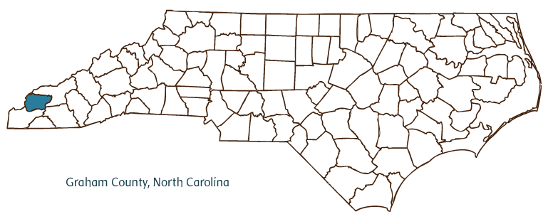
Graham County, located in western North Carolina along the Tennessee border, was formed in 1872 from the northeastern part of Cherokee County. It was named for William A. Graham, U.S. senator and governor of North Carolina. Communities in the county include Lake Santeetlah, Fontana Village, and the county seat, Robbinsville, incorporated in 1893. Much of Graham County is covered by the Nantahala National Forest, which includes the Joyce Kilmer Memorial Forest in the western part of the county. The lands of Graham County belonged to the Cherokee until President Andrew Jackson ordered the removal of the Indians in 1838. The grave of Cherokee leader Junaluska is located in Robbinsville.
Tourism is the leading industry in Graham County, in which 90 percent of the land has a slope of 30 degrees or more. Fontana Dam, constructed on the Little Tennessee River between 1942 and 1944, was a major Tennessee Valley Authority initiative and is the highest dam in the eastern United States. Fontana Lake attracts thousands of visitors each year with its enormous recreational opportunities. The Cherohala Skyway is a unique scenic byway passing through breathtaking mountain vistas. The Appalachian Trail also runs through Cherokee County.
Graham County farms produce tobacco, corn, chickens, Christmas trees, and other goods. Industrial manufactures include apparel, lumber, furniture, and cheese. Graham County's population was estimated at 8,000 in 2004.
For an annotated history of the county's formation, with the laws affecting the county, boundary lines and changes, and other origin information, visit these references in The Formation of the North Carolina Counties (Corbitt, 2000), available online at North Carolina Digital Collections (note, there may be additional items of interest for the county not listed here):
County formation history: https://digital.ncdcr.gov/Documents/Detail/the-formation-of-the-north-ca...
Index entry for the county: https://digital.ncdcr.gov/Documents/Detail/the-formation-of-the-north-ca...
References:
Graham County Heritage Book Committee, Graham County Heritage, North Carolina (1992).
Additional resources:
Corbitt, David Leroy. 2000. The formation of the North Carolina counties, 1663-1943. https://digital.ncdcr.gov/Documents/Detail/the-formation-of-the-north-carolina-counties-1663-1943/3692099?item=4553233 (accessed June 20, 2017).
Graham County Government: https://grahamcounty.org/
DigitalNC, Graham County: https://www.digitalnc.org/counties/graham-county/
North Carolina Digital Collections (explore by place, time period, format): https://digital.ncdcr.gov
Image credits:
Rudersdorf, Amy. 2010. "NC County Maps." Government & Heritage Library, Library of North Carolina.
Criner, Allyson C. "Graham County." NCpedia. Library of NC. 2006.

GRAHAM COUNTY GOVERNMENT:
https://grahamcounty.org/
COUNTY SEAT: Robbinsville
FORMED:1872
FORMED FROM: Cherokee
LAND AREA: 292.08 square miles
2020 POPULATION ESTIMATE: 8,030
White: 88.6%
Black/African American: 0.5%
American Indian: 7.9%
Asian: 0.5%
Pacific Islander: 0.1%
Two or more races: 2.2%
Hispanic/Latino: 3.7% (of any race)
From State & County QuickFacts, US Census Bureau, 2020.
CONGRESSIONAL DISTRICT: 11TH
BIOGRAPHIES FOR![]()
Graham County
 WILDLIFE PROFILES FOR
Mountain region
GEOGRAPHIC INFORMATION
REGION: Mountain
RIVER BASIN: Little Tennessee, Map
NEIGHBORING COUNTIES: Cherokee, Macon, Swain


