Jones County Resources
- View All:
- Biographies
- Monuments
- locations
ANCHOR (A North Carolina History Online Resource) is now its own website!
Copyright Notice: This article is from the Encyclopedia of North Carolina edited by William S. Powell. Copyright © 2006 by the University of North Carolina Press. Used by permission of the publisher. For personal use and not for further distribution. Please submit permission requests for other use directly to the publisher.
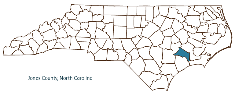
Jones County, located in North Carolina's Coastal Plain region, was formed from Craven County in 1779, taking its name from radical Revolutionary War leader and Anti-Federalist Willie Jones. Trenton (originally known as Trent Bridge) was established as the county seat in 1784. Other Jones County communities include Maysville, Pollacksville, Comfort, Pleasant Hill, and Wyse Fork. Large portions of the county are part of the Great Dover Swamp, White Oak Pocosin, Croatan National Forest, and Hofmann Forest, the nation's largest forest laboratory.
Originally inhabited by Tuscarora Indians, the area of modern Jones County was first settled by Europeans in the early eighteenth century; but the early communities formed by German and Swiss immigrants were soon disturbed by Cary's Rebellion and the Tuscarora War (1711-13). Nevertheless, in the wake of the Tuscarora War a thriving agricultural economy soon developed, with the Trent River serving as a source of irrigation and the primary means of transportation. During the following century and a half, the burgeoning county became dominated by plantation life, and on the eve of the Civil War the abundance of slaves and fertile farmland had made Jones County one of the most prosperous in the nation. The devastation of the war and the end of slavery brought the county's prominence to an end, however. Through the end of the twentieth century the economy of the county remained heavily dependent upon crops (principally tobacco) from its farms and lumber from its extensive forest lands. In 2004 the estimated population of Jones County was slightly more than 10,000.
For an annotated history of the county's formation, with the laws affecting the county, boundary lines and changes, and other origin information, visit these references in The Formation of the North Carolina Counties (Corbitt, 2000), available online at North Carolina Digital Collections (note, there may be additional items of interest for the county not listed here):
County formation history: https://digital.ncdcr.gov/Documents/Detail/the-formation-of-the-north-ca...
Index entry for the county: https://digital.ncdcr.gov/Documents/Detail/the-formation-of-the-north-ca...
References:
Julia Pollack Harriett, History and Genealogy of Jones County, North Carolina (1987).
Additional resources:
Corbitt, David Leroy. 2000. The formation of the North Carolina counties, 1663-1943. https://digital.ncdcr.gov/Documents/Detail/the-formation-of-the-north-carolina-counties-1663-1943/3692099?item=4553233 (accessed June 20, 2017).
Jones County Government: https://jonescountync.gov/
DigitalNC, Jones County: https://www.digitalnc.org/counties/jones-county/
North Carolina Digital Collections (explore by place, time period, format): https://digital.ncdcr.gov
Image credits:
Rudersdorf, Amy. 2010. "NC County Maps." Government & Heritage Library, Library of North Carolina.
Vocci, Robert Blair. "Jones County." NCpedia. Library of NC. 2006.
JONES COUNTY GOVERNMENT:
www.jonescountync.gov
COUNTY SEAT: Trenton
FORMED: 1779
FORMED FROM: Craven
LAND AREA: 470.71 square miles
2020 POPULATION ESTIMATE: 9,172
White: 67.1%
Black/African American: 29.3%
American Indian: 1.1%
Asian: 0.6%
Pacific Islander: <0.1%
Two or more races: 1.9%
Hispanic/Latino: 5.1% (of any race)
From State & County QuickFacts, US Census Bureau, 2020.
CONGRESSIONAL DISTRICT: 3RD
BIOGRAPHIES FOR![]()
Jones County
 WILDLIFE PROFILES FOR
Coastal Plain
GEOGRAPHIC INFORMATION
REGION: Coastal Plain
RIVER BASIN: Neuse, White Oak, Map
NEIGHBORING COUNTIES: Carteret, Craven, Duplin, Lenoir, Onslow