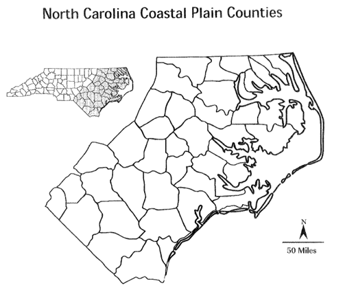
North Carolina's Coastal Plain is low, flat land along the Atlantic Ocean. It is often divided into two parts - the Outer Coastal Plain and the Inner Coastal Plain.
The Outer Coastal Plain is made up of the Outer Banks and the Tidewater region. The Outer Banks are a string of barrier islands separated from the mainland by sounds or inlets. The largest islands in the Outer Banks are Bodie, Hatteras, Ocracoke, Portsmouth, and the Core Banks. Three capes are part of the Outer Banks: Cape Hatteras, Cape Lookout, and Cape Fear. Near these capes are dangerous shoals, or underwater sandbars which are hazards to
ships. Cape Hatteras is known as the Graveyard of the Atlantic because shifting sand has caused many ships to run aground. The Outer Banks stretch more than 175 miles along the coast.
The Tidewater is the area along the coast close to sea level. The mouths of the major streams and rivers empty into sounds or the ocean. There are seven sounds in the Tidewater region: Pamlico, Albemarle, Currituck, Croatan, Roanoke, Core, and Bogue Sounds. This region has many low-lying areas called wetlands, where water covers the land. The Great Dismal Swamp, a series of swamps scattered from Virginia, to North Carolina, South Carolina, and Georgia, is North Carolina's largest wetland area. It covers about 750 square miles, making it one of the largest swamps in the United Swamps. The Tidewater is the only place in the world where the Venus Flytrap plant grows naturally.
The Inner Coastal Plain, a higher, drier area, begins west of the Tidewater. The rich, sandy soil here is some of the state's best farmland. In the southwestern corner of the Inner Coastal Plain are the Sandhills, a subregion of rolling, sandy hills. This area has the highest elevation on the Coastal Plain, ranging from about 900 to 1,000 feet above sea level. Longleaf pines are native to this area.