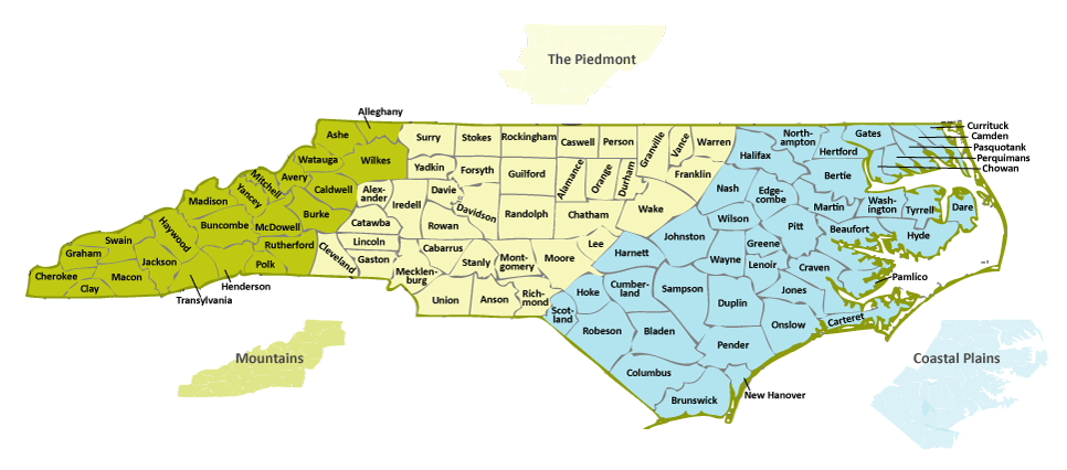
Geography of North Carolina encompasses distinct regions that are separated by dramatic differences in terrain, natural resources, and history. The Coastal Plain, which also includes the North Carolina Sandhills, is an area roughly comprising the eastern two-fifths of the state, stretching from the counties bordering the Atlantic Ocean to the fall line-a boundary dividing the rich but rock-filled land of the Piedmont from the coastline's sandy soil. The Piedmont, with its rolling hills and farmlands, is located in the central part of the state. The Mountain region, part of a larger area in the Appalachian Mountains called the Blue Ridge Range, contains the state's most rugged terrain. The Mountain region is located west of a line that zigzags through Surry, Wilkes, Caldwell, Burke, Rutherford, and Polk Counties.
The state varies in altitude from sea level along the Atlantic coastline in the east to 6,684 feet at the top of Mount Mitchell in Yancey County on the Tennessee border. Its total area as of 2004 was 52,669 square miles, with 48,843 square miles of land and 3,826 square miles of water. North Carolina's geographic center, as determined by the U.S. Geological Survey, is in Chatham County near the town of Gulf, about 10 miles northwest of Sanford.