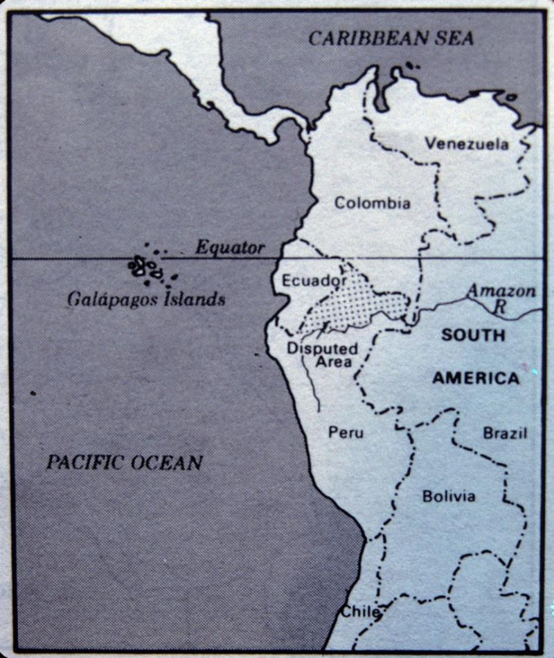
Map of Ecuador
A black and white line-drawn map of Ecuador shows the area in the east of Ecuador that is in dispute with Peru.
Both Ecuador and Peru claim possession of part of the Amazonian rainforest shown in this map. This border dispute turned into war in 1941 when the well-equipped Peruvian army crossed the border into Ecuadorian territory. The Peruvian army quickly overwhelmed the undermanned Ecuadorian army and the two sides ended the fighting by signing the Rio Protocol in 1942. All the disputed territory was kept by Peru, although many Ecuadorians still claim the disputed territory for their country. Since signing the Rio Protocol, border skirmishes erupted in 1981 and 1995.

Creative Commons BY-NC-SA
This item has a Creative Commons license for re-use. This Creative Commons BY-NC-SA license means that you may use, remix, tweak, and build upon the work for non-commerical purposes as long as you credit the original creator and as long as you license your new creation using the same license. For more information about Creative Commons licensing and a link to the license, see full details at https://creativecommons.org/licenses/by-nc-sa/4.0/.